The Underline
Why This Is A Priority
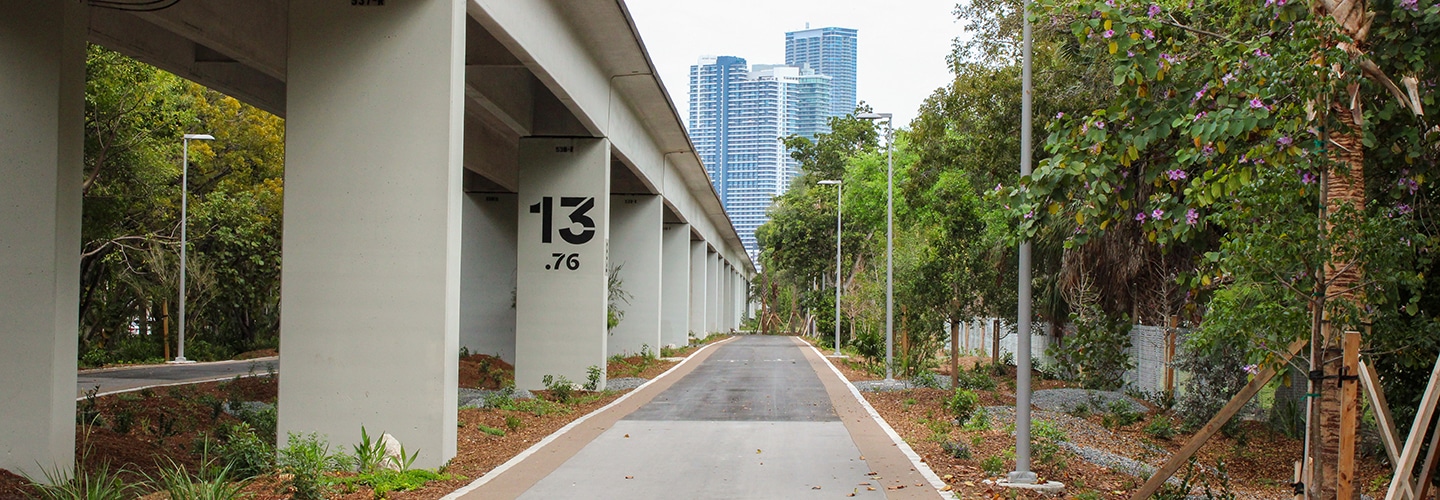
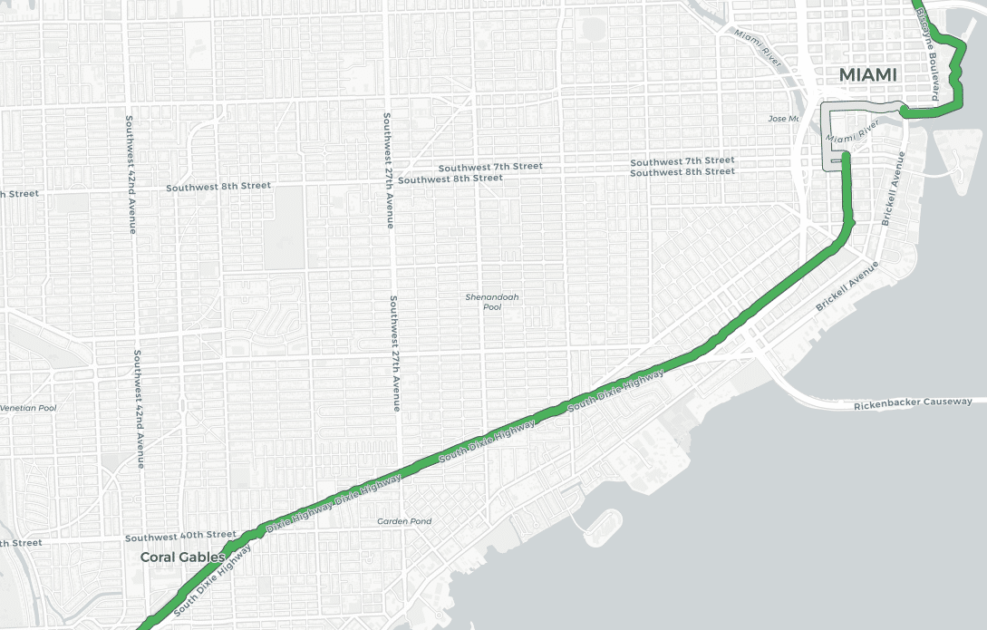
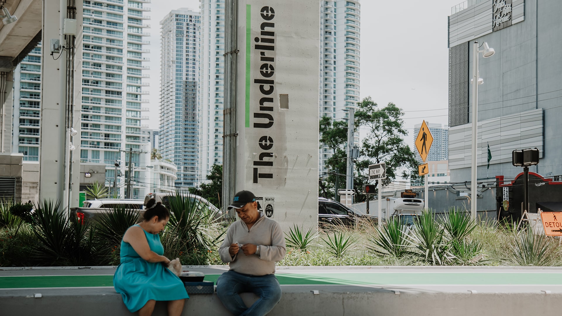
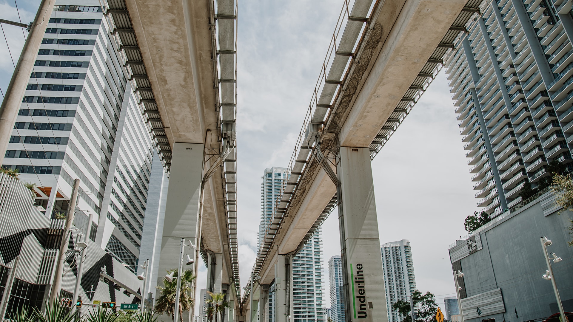
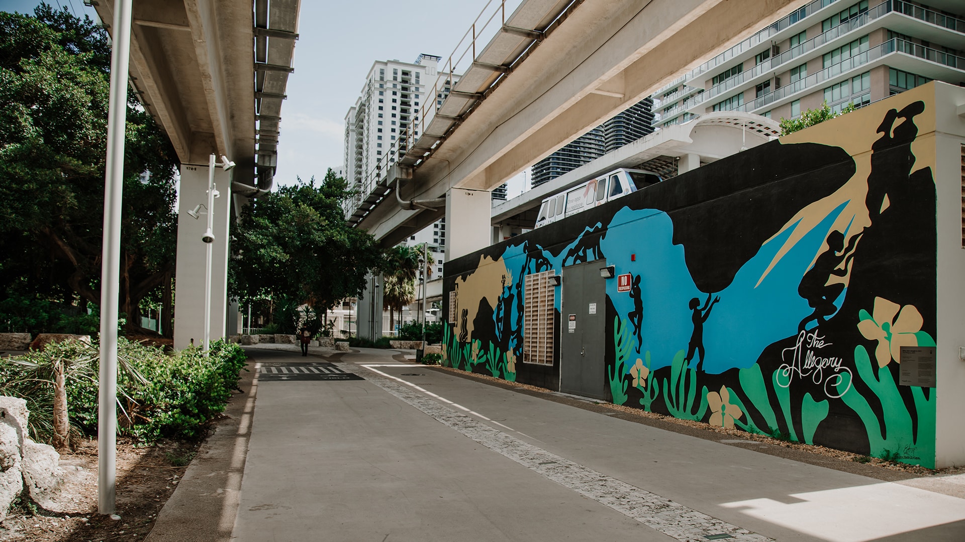
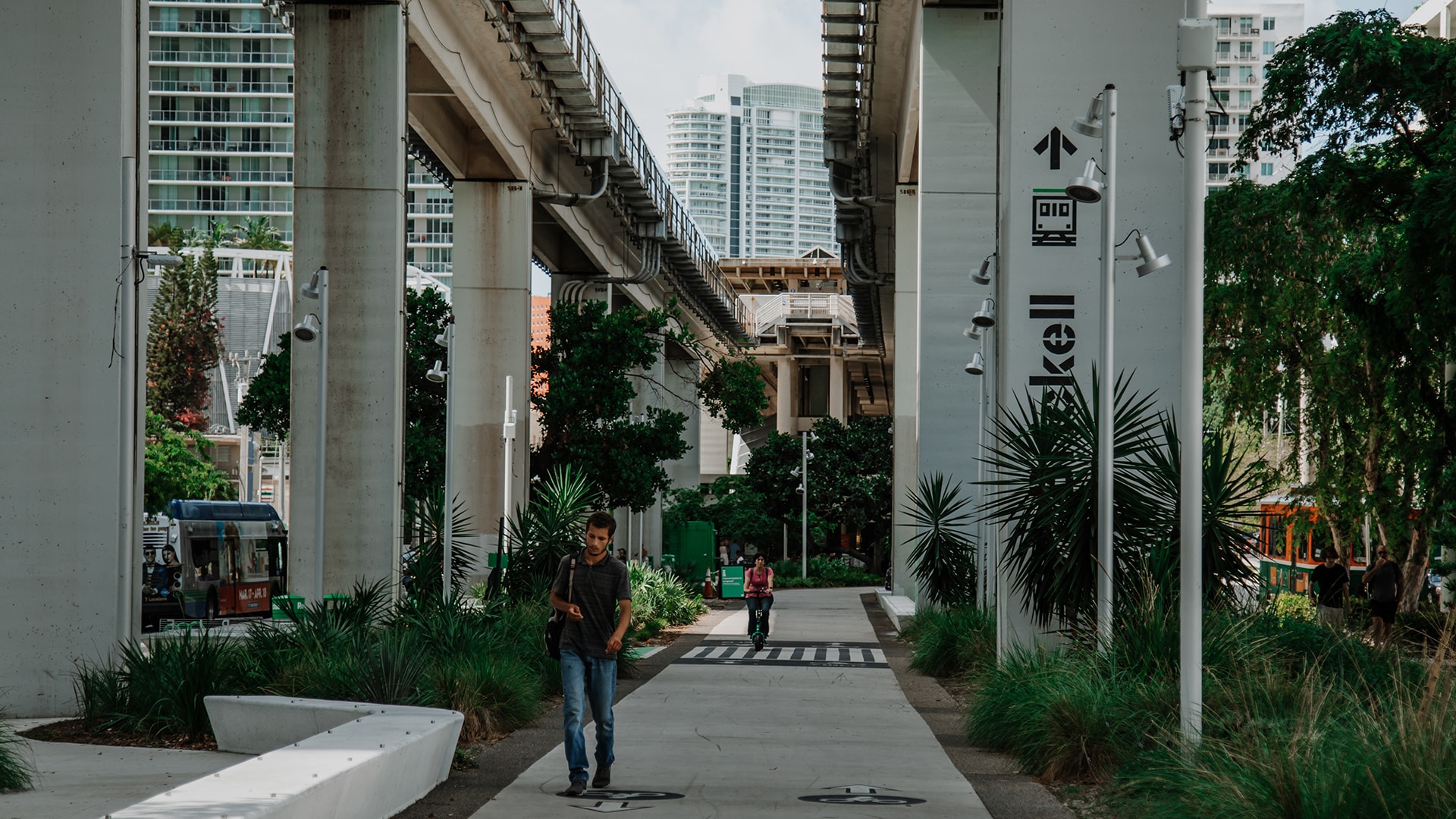
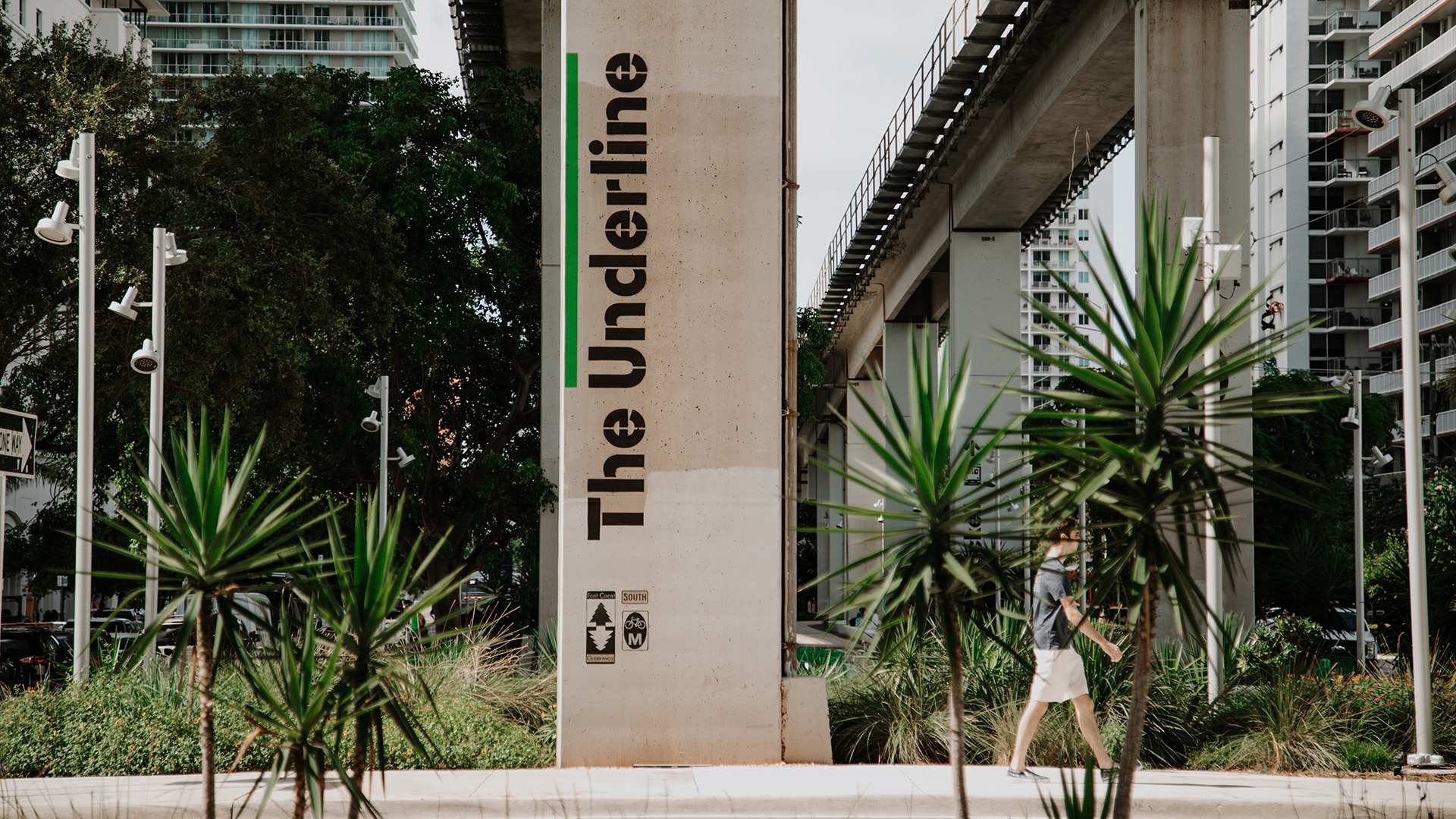
The Underline is a 10-mile linear park and urban trail running along and below the existing Metrorail guideway, from the Miami River to the Dadeland South Metrorail Station. The Underline is a public-private partnership between the Miami-Dade County Department of Transportation and Public Works and Parks, Recreation and Open Spaces Department, Friends of the Underline, City of Miami and City of Coral Gables.
2012
Following a bike crash, Meg Daly conceives the idea for The Underline.
2018
Ground is broken on Phase 1 of The Underline.
2021
Phase 1 (0.5 miles) opens to the public and Phase 2 (2.1 miles) breaks ground.
2023-2024
Phase 2 opens to the public and the third and final phase (7.2 miles) breaks ground.
2026
Construction is expected to be complete on the third and final phase (7.2 miles).
Who’s Listening
Friends of the Underline
Email Contact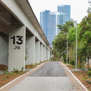
Miami-Dade County Department of Transportation and Public Works
Email Contact107,000
residents within a 10-minute walk of The Underline
10
miles of current and future trail that varies from 70-170 feet wide
10+
amenities connected to The Underline, including butterfly gardens, playgrounds, sport courts, picnic areas, dog parks more
About The Underline
The Underline is Miami’s living corridor, a 10-mile linear park and urban trail where millions of people come to move, live, and grow, together. Stretching from Brickell to Dadeland, this 120-acre public space and multi-modal transportation corridor transforms the land beneath the Metrorail into a vibrant network of paths, parks, and places that support everyday movement, community life, and long-term opportunity.
What You Can Do
Get Involved
Volunteer with Friends of the Underline
Stay Informed
Stay informed and celebrate the opening of Phase 3 in 2026!
Explore More Projects
Jupiter Inlet Bridge & Riverwalk
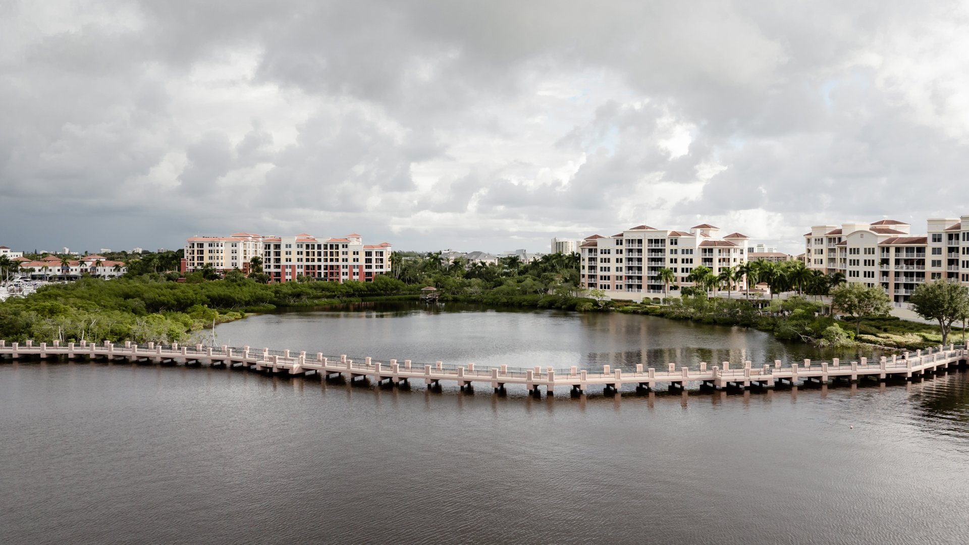
A new half-mile pedestrian path on the U.S. Highway 1 bridge and its future connection to the Jupiter Riverwalk are key upgrades to Florida’s East Coast Greenway.
See Project
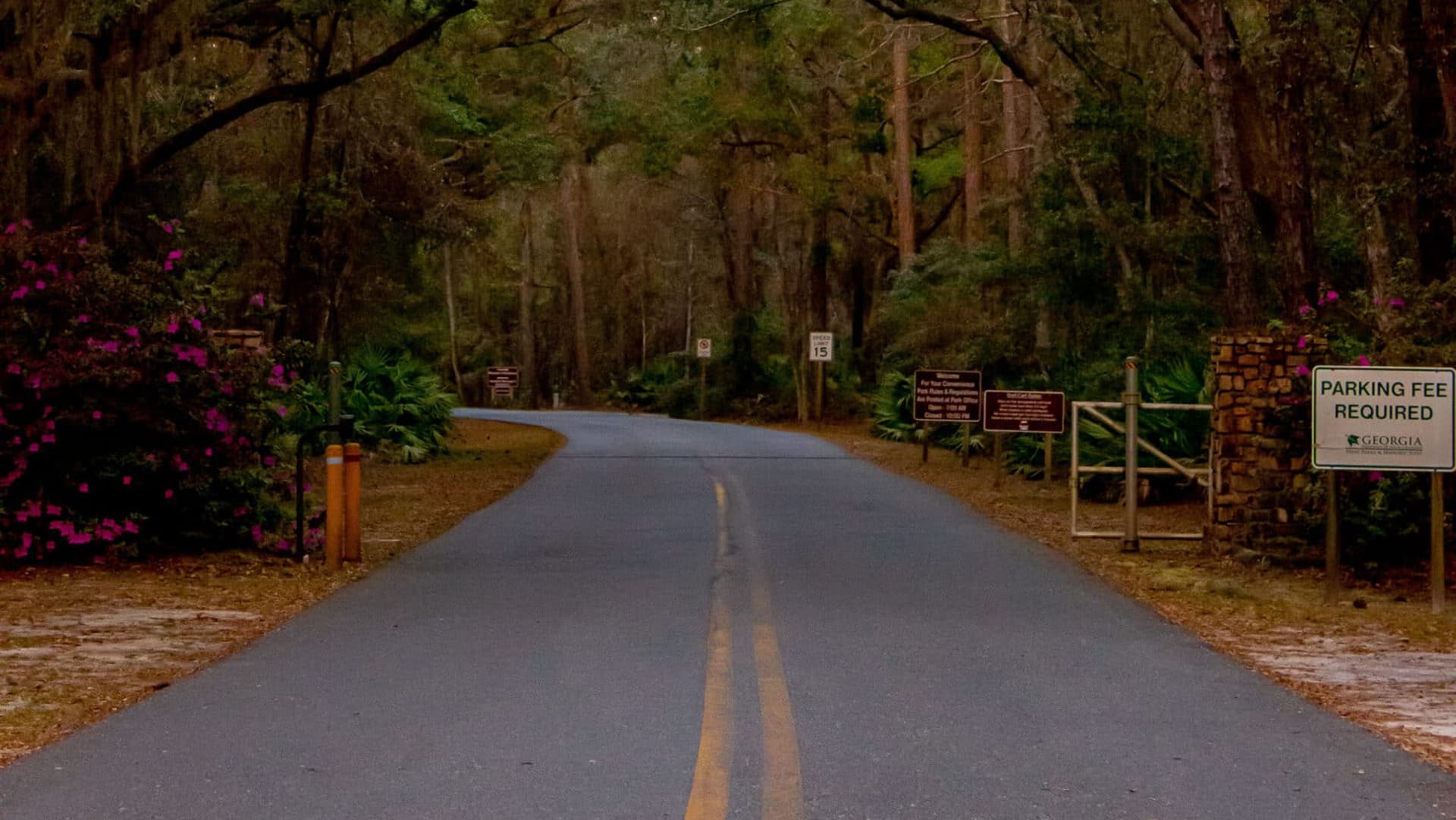
Tabby Trail
The St. Marys Tabby Trail will link historic downtown St. Marys with the Kings Bay Naval Base and Crooked River State Park, providing access to nature and local historical sites like the McIntosh Sugar Mill Ruins.
See Project
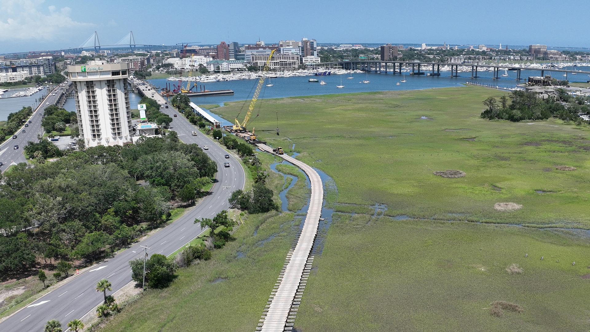
Ashley River Crossing
The Ashley River Crossing will link the downtown Charleston peninsula with the West Ashley Greenway, eliminating one of the most dangerous bridge crossings on the entire East Coast Greenway route.
See Project
Trail Building Resources

Complete the Trails Program
The East Coast Greenway Alliance is developing new trail segments of the East Coast Greenway State Trail in North Carolina using a $4.97 million direct allocation from the Complete the Trails Program. The Alliance is seeking proposals for trail projects that can successfully apply CTP funding towards expanding the East Coast Greenway State Trail.
View resource
Guide to the East Coast Greenway
Travel the East Coast Greenway between New Haven and Providence by foot or bike and experience cities rich in history and culture, along with miles of scenic shared-use paths. “Guide to the East Coast Greenway: New Haven, Connecticut, to Providence, Rhode Island” features local tips on can’t-miss sights, plus recommendations for food, lodging, bike shops and more.
View resource

Studies & Impact Reports
Research from across the East Coast Greenway corridor highlights the powerful health, safety and economic returns of active transportation investments from Maine to Florida.
View resource