Explore Connecticut’s natural beauty on Ride the State

The record 200 cyclists expected at the East Coast Greenway’s 16th-annual Ride the State: Connecticut on Saturday, June 27, are in for a memorable journey. In the region, the Greenway connects vibrant cities, historic towns, scenic waterfronts and peaceful stretches of nature — all of which can be experienced in the 60-plus miles between New Haven and Hartford.
In “Guide to the East Coast Greenway: New Haven, Connecticut, to Providence, Rhode Island, by Bike or on Foot,” author Lisa Watts highlights the unique landscapes and ecosystems that make this section of the Greenway so special.
Read on for a closer look at Connecticut’s natural features riders will experience along the Ride the State route.
New Haven: Between East Rock and West Rock
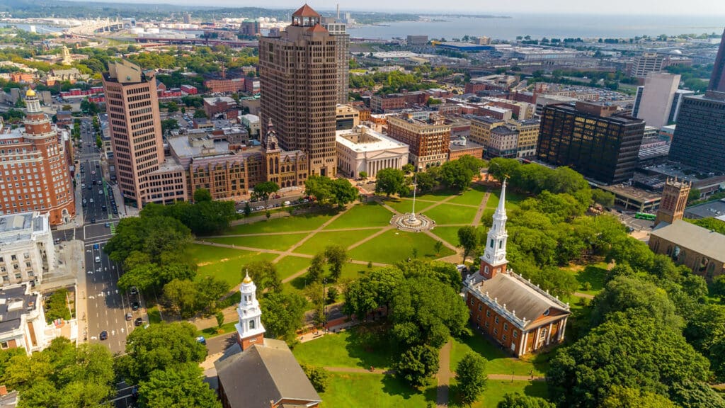
Two natural shoulders frame the city — East Rock and West Rock — and offer tremendous views of the city, harbor, Long Island Sound, and beyond. The cliffs of East Rock’s ridge stand 300 feet above the city as part of the narrow, linear Metacomet Ridge, a series of basalt traprock ridges which extend from the Sound north to the Holyoke Range in Massachusetts. The seven-mile West Rock is also part of the Metacomet Ridge, with cliffs rising 700 feet above sea level. The city park is popular for recreation with a network of hiking trails running through it. The enclave is home to rare plants, diverse birds, and a number of microclimates.
Closer to sea level, less than two miles from downtown, the Long Wharf Nature Preserve showcases tidal wetlands and a stand of cottonwoods. Over 100 species of birds have been spotted here on some 15 acres where, despite being close to Interstate 95 and industrial sites along New Haven’s harbor, native plants and animals have returned. Best feature: the East Coast Greenway runs through the preserve.
A good place to begin to learn about New Haven is the town green. It’s the center square of a nine-square grid designed by Puritan colonists in the 1600s as they created the first city planned by Europeans in North America. The town green hosts events year-round and has evolved with the times. Once a burial ground and a public site for grazing cows, the New Haven Green now offers free public wi-fi.

New Haven to Simsbury: Exploring the Farmington River Watershed
The Farmington River Watershed covers 609 square miles encompassing 30-plus towns in Connecticut and Massachusetts. Land use is mostly rural with large tracts of forest and marshes along with suburban residential and commercial development. Once heavily forested, farmers cleared the valley for agriculture in the early 1800s, drawing on the alluvial rich soil along the Farmington River. These days, the biggest environmental threat facing the area is suburban sprawl. The population has quadrupled since 1950 to more than 100,000. Connecticut’s traprock ridges run north to south along the Connecticut River Valley. Traprock is basalt and diabase derived from lava flows 200 million years old that once pooled in the valley. More resistant to erosion and weathering than surrounding sedimentary rocks, they now stand as cliff-ribbed spines. The East Coast Greenway travels to the west of the Metacomet Ridge, which begins in New Haven and heads north to Massachusetts. In Simsbury, the ridge includes Heublein Tower, Talcott Mountain State Park, Penwood State Park and the Tariffville Gorge of the Farmington River
Most of the trail corridor falls in the traprock ridge and alluvial floodplain ecoregions. Unique species include the five-lined skink, Connecticut’s only lizard, and the American bittern, a wetland-dependent bird. The purple giant hyssop, wild rice and the long-leaved bluet are found here in a region that functions as a natural corridor for migratory birds and large mammals such as the bobcat and black bear.
Before leaving Simsbury don’t miss the Flower Bridge, a metal truss bridge spanning 183 feet and suspended 18 feet over the Farmington River. The bridge is in its full glory during the spring and summer months when flower boxes adorn the pathway.
Hartford: Revitalizing the Connecticut River
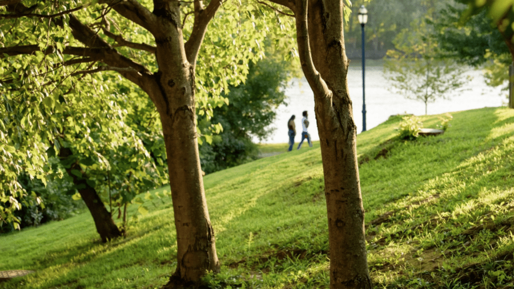
“The city has a new appreciation for the Connecticut River,” says former City of Harford planner Sandy Fry. As New England’s longest river, it’s the source of 70 percent of Long Island Sound’s fresh water. The name Connecticut comes from the Mohegan word quinetucket, which means “beside the long tidal river.” The Pequot tribe lived at the river’s mouth while Mohegans lived in the area of Hartford and its suburbs. Both tribes now own reservations in eastern Connecticut where the Mashantucket Pequots operate Foxwoods Resort Casino and the Mohegans run Mohegan Sun Casino & Resort.
Efforts to revitalize the banks on both sides of the Connecticut River have been led since 1981 by the nonprofit Riverfront Recapture. The organization’s website asserts, “We’ve transformed the riverfront from an overgrown area that was walled off by flood dikes and cut off by Interstate 91 into four public parks connected by river walks. Our parks connect you to the Connecticut River and are a destination for people across the region, from runners and bikers to rowers and paddlers.”
In addition, the East Coast Greenway runs right through Hartford’s 50-acre Bushnell Park, a popular downtown site for office workers on lunch break and for concert-goers on warm evenings. The park began as a radical concept in the 1850s. As the Industrial Revolution was starting to wane, Hartford and other cities were struggling with crime, crowded tenements, poverty and poor sanitation. Rev. Horace Bushnell convinced the city council to buy the land and turn it into a place for strolling and recreation. Far from verdant at the time, the site hosted tanneries, pigsties, a garbage dump, and a smelly river polluted with industrial and human waste from outhouses. Bushnell asked his friend and Hartford native Frederick Law Olmsted to design the park. Olmsted was busy designing Central Park in New York City (which was purchased with private funds), so he recommended Jacob Weidenmann. The Swiss architect designed curving paths and clusters of evergreen and deciduous trees, a departure from the flat expanses of formal town squares or central greens customary in New England.
Interested in learning more? “Guide to the East Coast Greenway: New Haven, Connecticut, to Providence, Rhode Island, by Bike or on Foot” is available as a free download or as an 80-page printed publication for $15.
Greenway Stories
News, features and more from throughout the East Coast Greenway corridor