North Carolina
Welcome to North Carolina
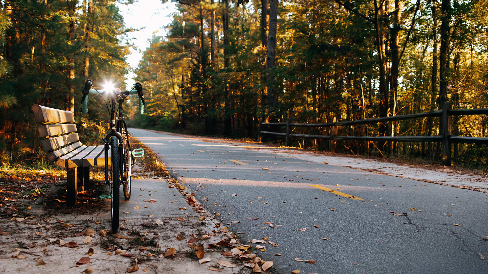
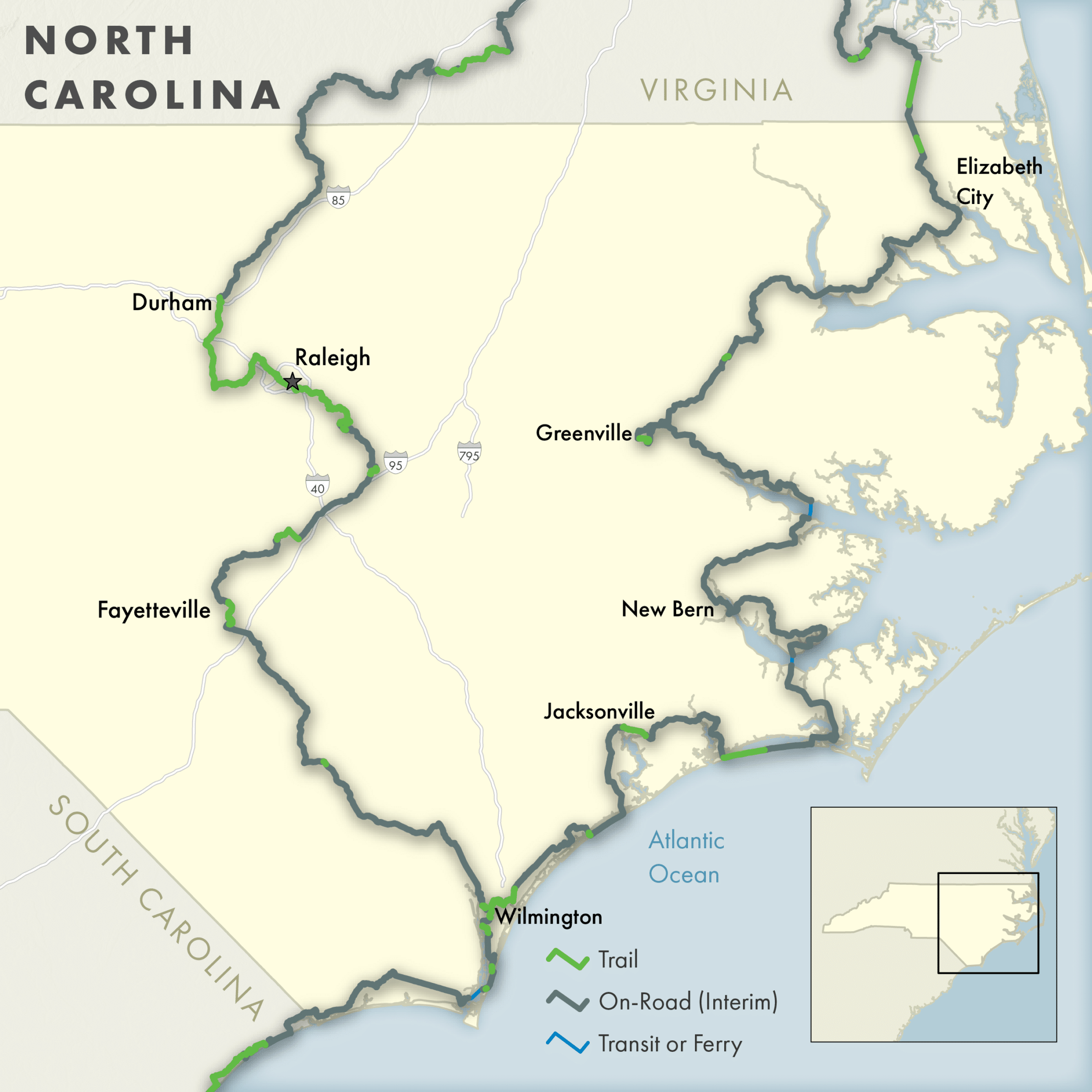
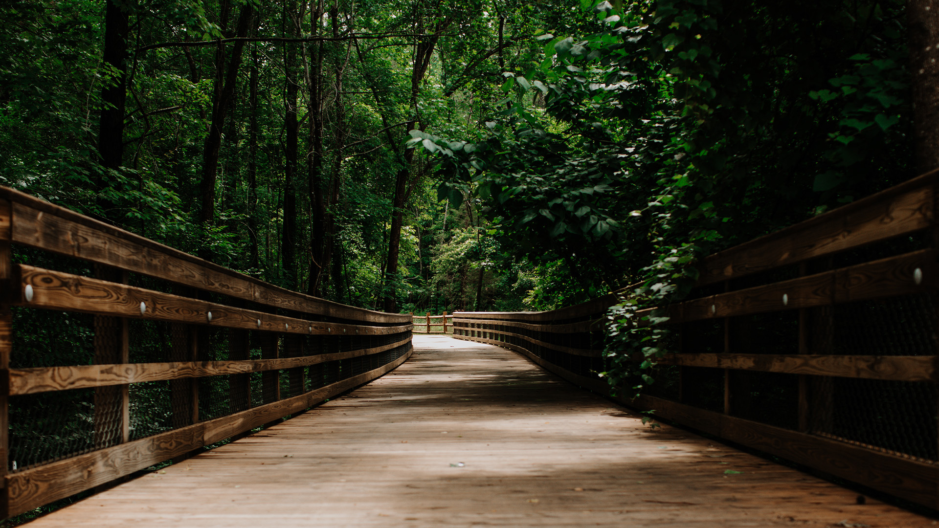
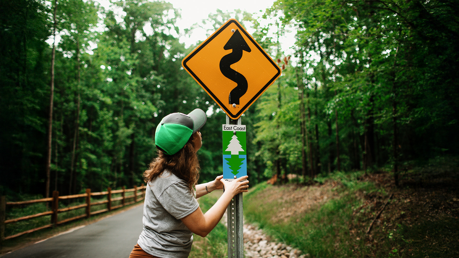
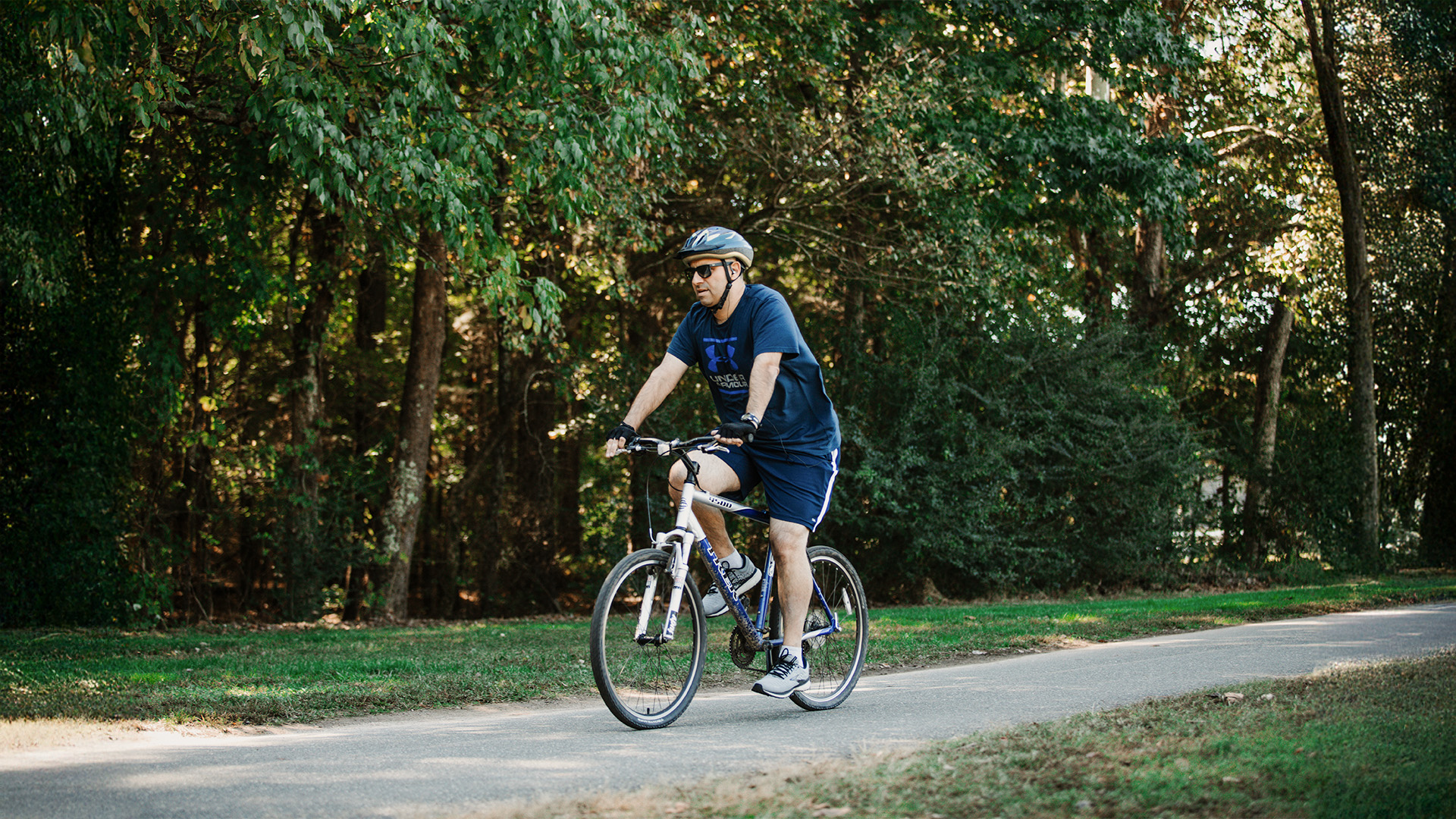
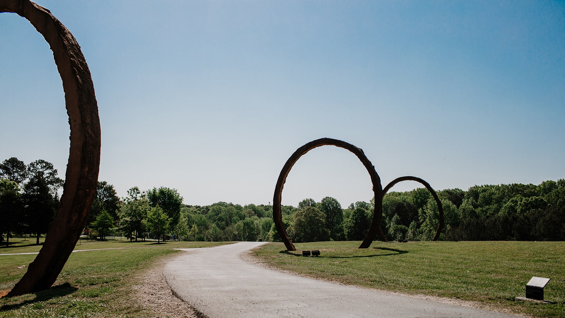
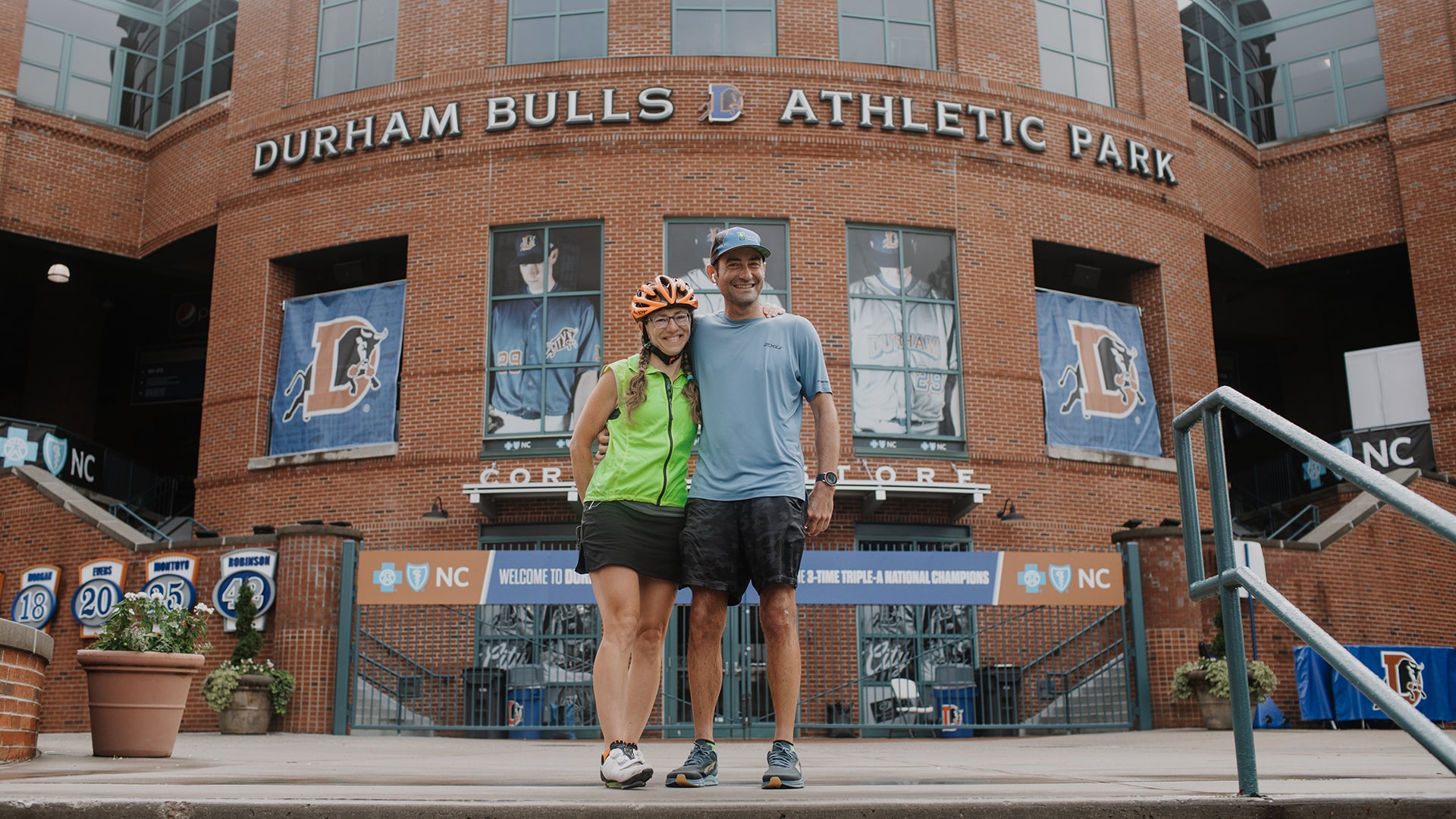
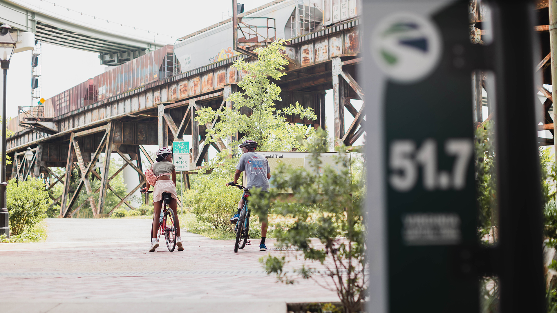
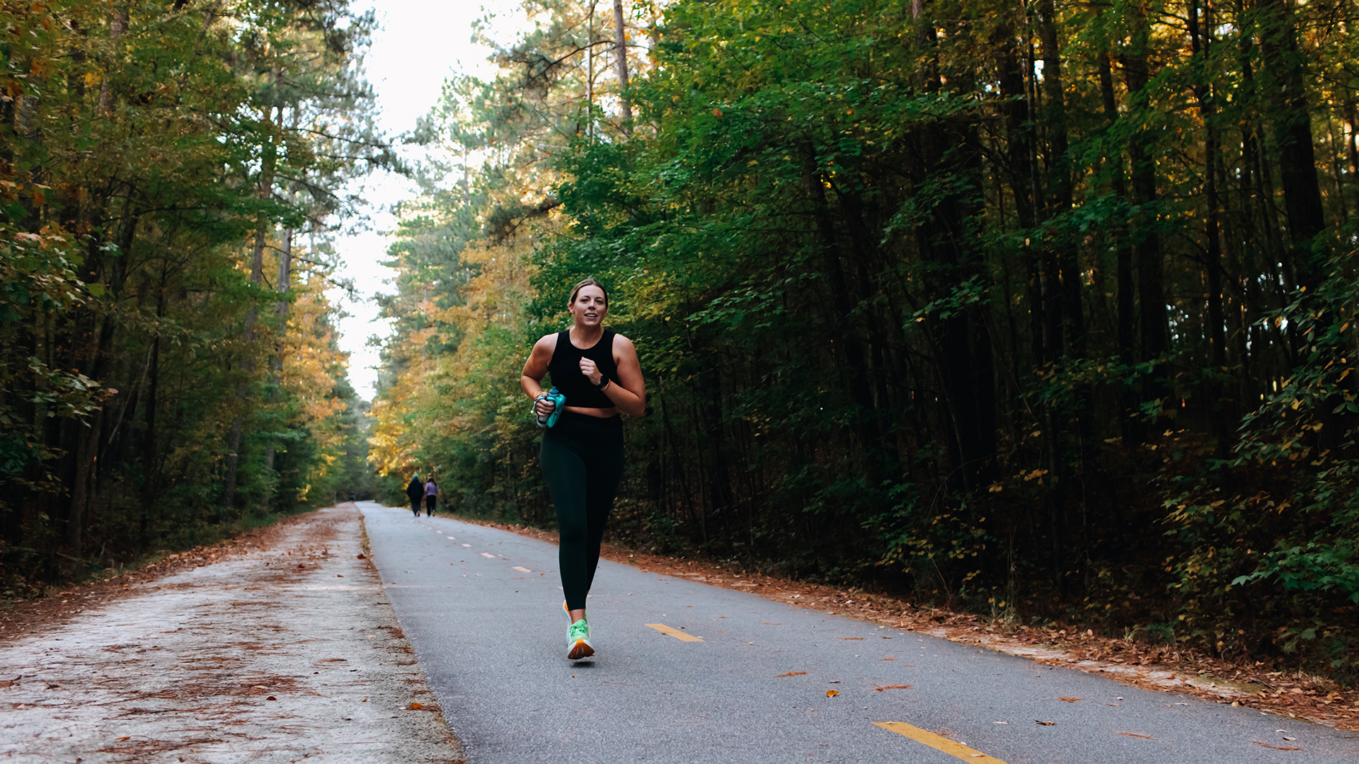
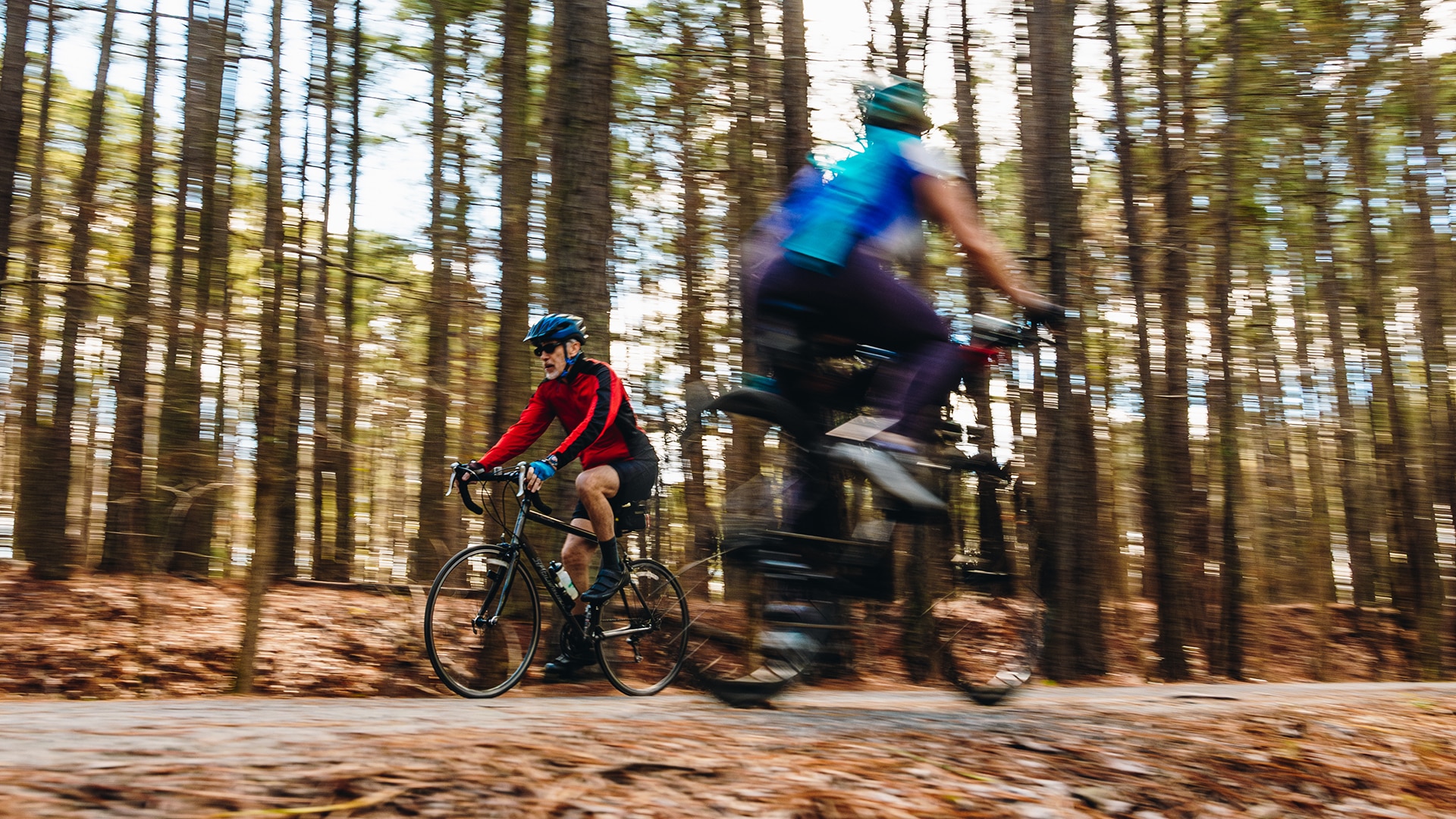
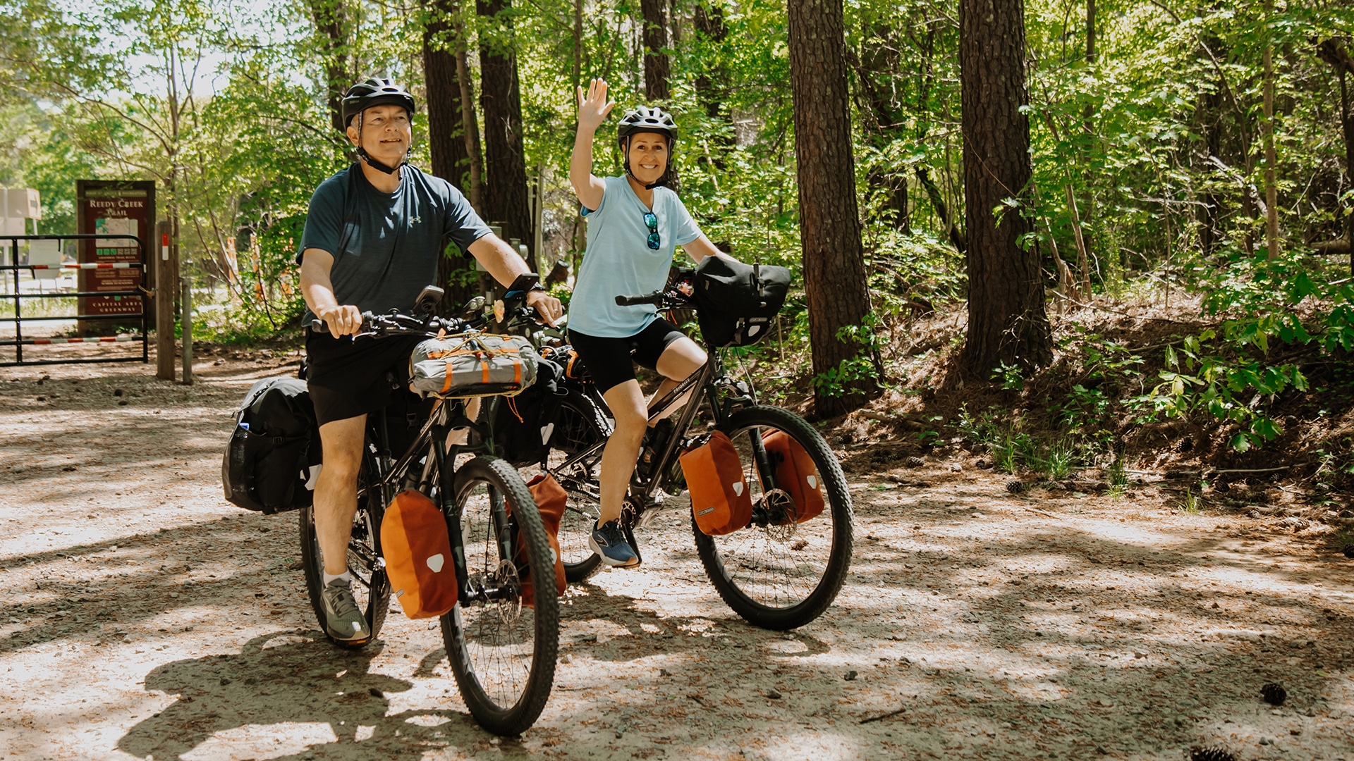
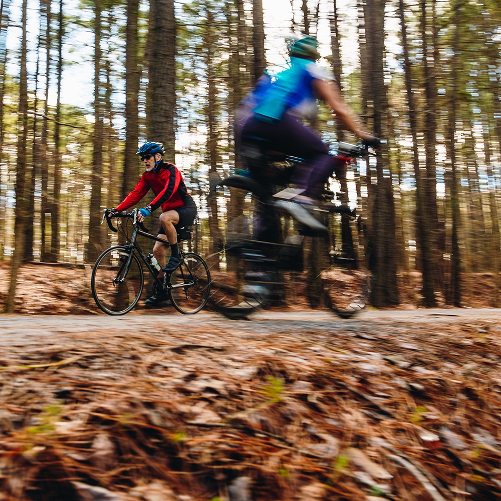
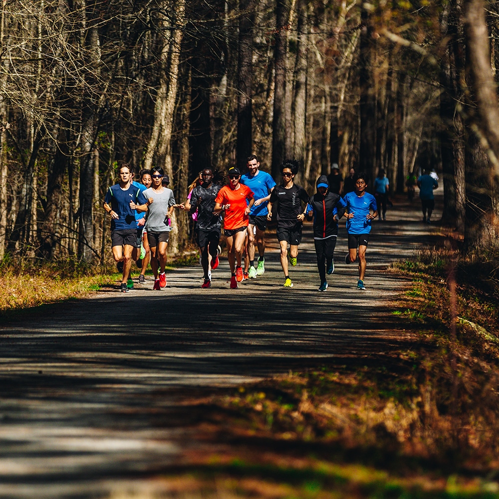
On its journey through central and eastern North Carolina, the East Coast Greenway highlights the state’s remarkable natural beauty and cultural diversity. Travelers move from rolling hills of pine, oak and hickory forests to working farmlands, vibrant cities, cypress swamps and coastal beaches—experiencing many of the Tar Heel State’s signature landscapes along the way. The spine route winds through the Research Triangle cities of Durham and Raleigh on extensive greenway trails, then reaches the Sandhills and Fayetteville before crossing the coastal plain along the Cape Fear River and into the historic port city of Wilmington. An alternate Historic Coastal Route offers a more shoreline-focused experience. Entering from Virginia on the Dismal Swamp Canal Trail, it follows the North Carolina coast, connecting communities such as Greenville and Jacksonville before converging with the spine route in Wilmington.
In North Carolina, the East Coast Greenway is a proud member of the Great Trails State Coalition and an official North Carolina State Trail.
Explore the Greenway & Future Trails
Choose a tab below to explore the Greenway route today and the progress moving it forward.
Route Notice
More than 80 miles of the East Coast Greenway route in North Carolina is deemed high-stress by the Alliance staff. These extremely high-stress segments should be avoided by inexperienced long-distance travelers, especially those traveling with children. Learn more and review those segments here.
Traveling by train? Here are some quick tips when using Amtrak with your bike: Do your research in advance; each train line features different bike rack equipment and loading procedures. Check Amtrak for the latest and when in doubt: call the station if you have questions.
Designated Trails
Mileage counts reflect the portion of each trail that is part of East Coast Greenway.
- Ellerbe Creek Trail, Durham; 1.5 mi
- South Ellerbe Creek Trail, Durham; 1.5 mi
- Downtown Trail, Durham; 1.3 mi
- American Tobacco Trail, Durham, Chatham, & Wake Counties; 17.5 mi
- Black Creek Greenway and White Oak Greenway, Cary; 12.75 mi
- Umstead State Park Trail, Wake Co.; 5.3 mi
- Reedy Creek Greenway, Raleigh; 4.7 mi
- Walnut Creek Trail, Raleigh; 4.5 mi
- Rocky Branch Trail, Raleigh; 1.2 mi
- Pullen Park Trail, Raleigh, 0.35 mi
- Little Rock Trail, Raleigh, 1 mi
- Lower Walnut Creek Trail, Raleigh, 2.7 mi
- Chavis Way sidepath, Raleigh; 0.3 mi
- Central Raleigh Trail, Raleigh; 0.58 mi
- Neuse River Trail, Raleigh-Clayton; 13 mi
- Sam’s Branch Greenway, Clayton; 2.5 mi
- Front Street Sidepath, Clayton; 0.7 mi
- Buffalo Creek Greenway, Smithfield; 2.9 mi
- Dunn-Erwin Trail, Dunn-Erwin; 5.3 mi
- South Tar River Greenway, Greenville; 3.2 mi
- Cape Fear River Trail, Fayetteville; 4.1 mi
- Jacksonville Rail-Trail, Jacksonville; 2.6 mi
- Greenfield Lake Path, Wilmington; 1.75 mi
- Cross-City Greenway, Wilmington; 6.75 mi
Complementary Route
- Dismal Swamp Canal Trail, South Mills; 3 mi
- Carolina Beach Island Greenway, Carolina Beach; 1.2 mi
- Surf City Bridge Multi-Use Path, Surf City,: 0.8 mi
- North Carolina Aquarium at Ft. Fisher Trail, Kure Beach; 0.4 mi
- Southport-Ft. Fisher Ferry, south of Wilmington; 4 mi
- Emerald Path, Emerald Isle; 8.7 mi
- South Tar River Greenway, Greenville,: 3.2 mi
Where We’re Focusing
-

The Durham-to-Roxboro Rail Trail
This transformative project recently completed a planning study and is proceeding to the next phases of development to link Durham to Roxboro with a 26-mile long shared-use path.Learn More -
Johnston County
With two recently completed feasibility studies covering the entirety of the Greenway in Johnston County, we have a plan to go from approximately 10 miles to 40+ miles, with the first newly planned segment – Neuse River Trail, Wilson’s Mills Greenway Project – in design and due to break ground in the near future.Learn More
Progress Update
In North Carolina, the Alliance has done extensive planning, alongside local partners, to develop more than 150 miles of planned trail alignment ready to be designed and implemented. We continue to work with local and state partners to bring these projects into the next phases of development. With a focus on the Triangle metro area, we are working to expand on the existing 80 miles of Greenway to more than double the amount of Greenway in the region. We also are building out greenways in three directions from Wilmington at the confluence of the Spine and Coastal routes.
Suggested Itineraries
Travel through rural communities, the dynamic cities of the Research Triangle, Wilmington and other coastal towns — plus a complementary route that reveals even more of North Carolina’s shoreline.
Trail Experience
Sign up to stay updated

- Bike Walk NC
- Cape Fear Council of Governments
- Cape Fear Cyclists
- Capital Area Metropolitan Planning Organization
- Carolina Thread Trail
- Central Pines Regional Council
- City of Durham Parks & Recreation
- City of Raleigh Parks, Recreation and Cultural Resources Department
- Fayetteville Metropolitan Planning Organization
- Friends of the Mountains to Sea Trail
- Gullah-Geechee Cultural Heritage Corridor Commission
- Kerr Tar Council of Governments
- North Carolina Department of Commerce
- North Carolina Department of Cultural Resources
- North Carolina Department of Environmental Quality
- North Carolina Department of Transportation
- North Carolina State Parks
- Oaks & Spokes
- SouthEast High Speed Rail Corridor
- The Great Trails State Coalition
- Town of Cary Recreation & Enjoyment
- Triangle Trails Initiative
- Triangle West Transportation Planning Organization
- Wake County Parks, Recreation and Open Space
- Wilmington Urban Area Metropolitan Planning Organization