Trip-Planning Resources
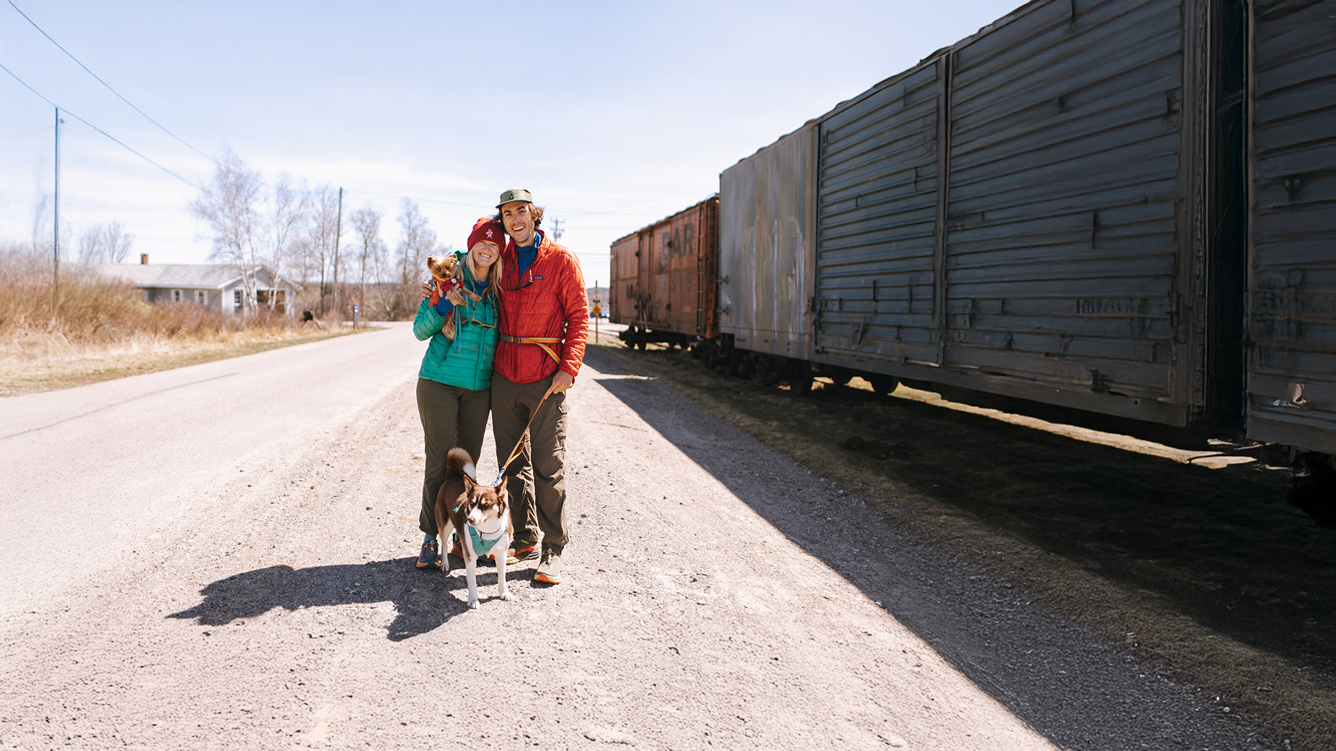
Plan Your Greenway Adventure
As the East Coast Greenway continues to grow, riders will find an increasing number of 10- to 50-mile segments that are protected from traffic and welcoming to all trail users. Those planning multi-day trips — or even an end-to-end journey — should be experienced cyclists, comfortable navigating both urban and rural environments and sharing roads and bridges with motor vehicles. For essential details to help you plan a long-distance adventure, be sure to review our state and regional pages, as well as all the resources available below.

Route Map
Trip-Planning FAQs
High-Stress Segments
Guide to the East Coast Greenway
Turn your Greenway adventure into a fundraiser
Looking to support the completion of the East Coast Greenway while embarking on your journey? Our team can help you turn your adventure into a fundraiser! We’ll create a personalized donation page where your friends, family, and followers can contribute directly to the East Coast Greenway Alliance in your honor. Every dollar raised brings us closer to completing this iconic Maine-to-Florida route — making more adventures like yours possible.
Ready to get started? Contact John Martin, Senior Director of Marketing & Communications, at john@greenway.org.
Greenway Guidance
While the East Coast Greenway Alliance is constantly improving the safety of the Greenway route through its advocacy efforts, many of the current on-road connections, including those on the Greenway’s interim routes, have little or no special provisions for bicyclists or pedestrians. Long-distance travel via on-road sections of the Greenway is recommended for experienced cyclists only. Many lengthy traffic-free segments of the Greenway are suitable for families and cyclists, walkers and runners of all ages and abilities.
The current on-road routing is housed on low-traffic roads whenever possible. We aim to be as clear as we are able about the conditions riders can expect by including alerts for known stressful sections on our online mapping tool at map.greenway.org as indicated below. Please note that points of caution – indicated by red dots on the map – only appear when zoomed in at the 1-mile scale or closer. You can click on an individual dot to see more caution details.
Directional signage may or may not be present along the route. Users are advised to review state traffic laws, research current road conditions and discuss plans with people familiar with area roadways.
This website provides information for the public about trails and roads for traveling the interim route of the East Coast Greenway and their general suitability for long-distance cycling and walking. The East Coast Greenway Alliance and those involved with the development and publication of this website do not assume any liability for injuries, damage or loss to persons using this information or the routes suggested. People using this information are responsible for their own safety and should take appropriate precautions.