Massachusetts
Welcome to Massachusetts
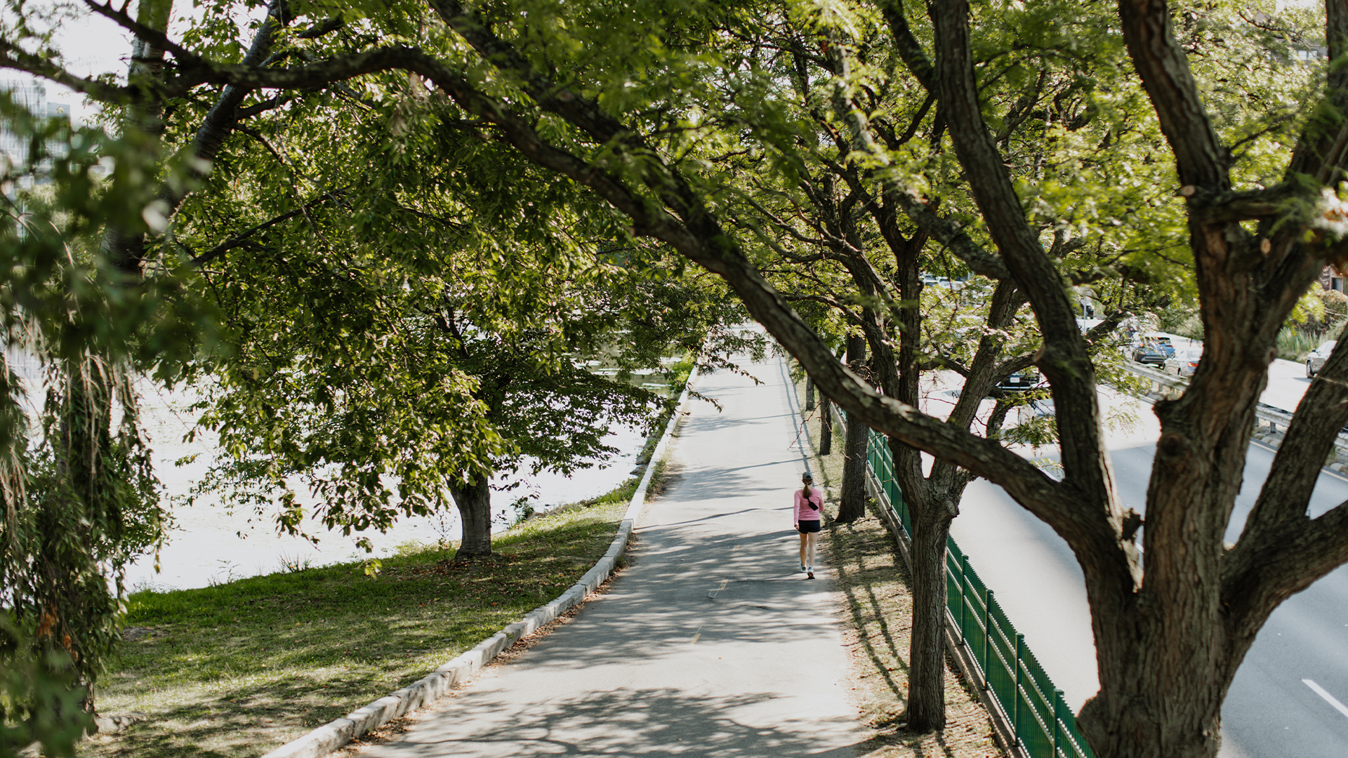
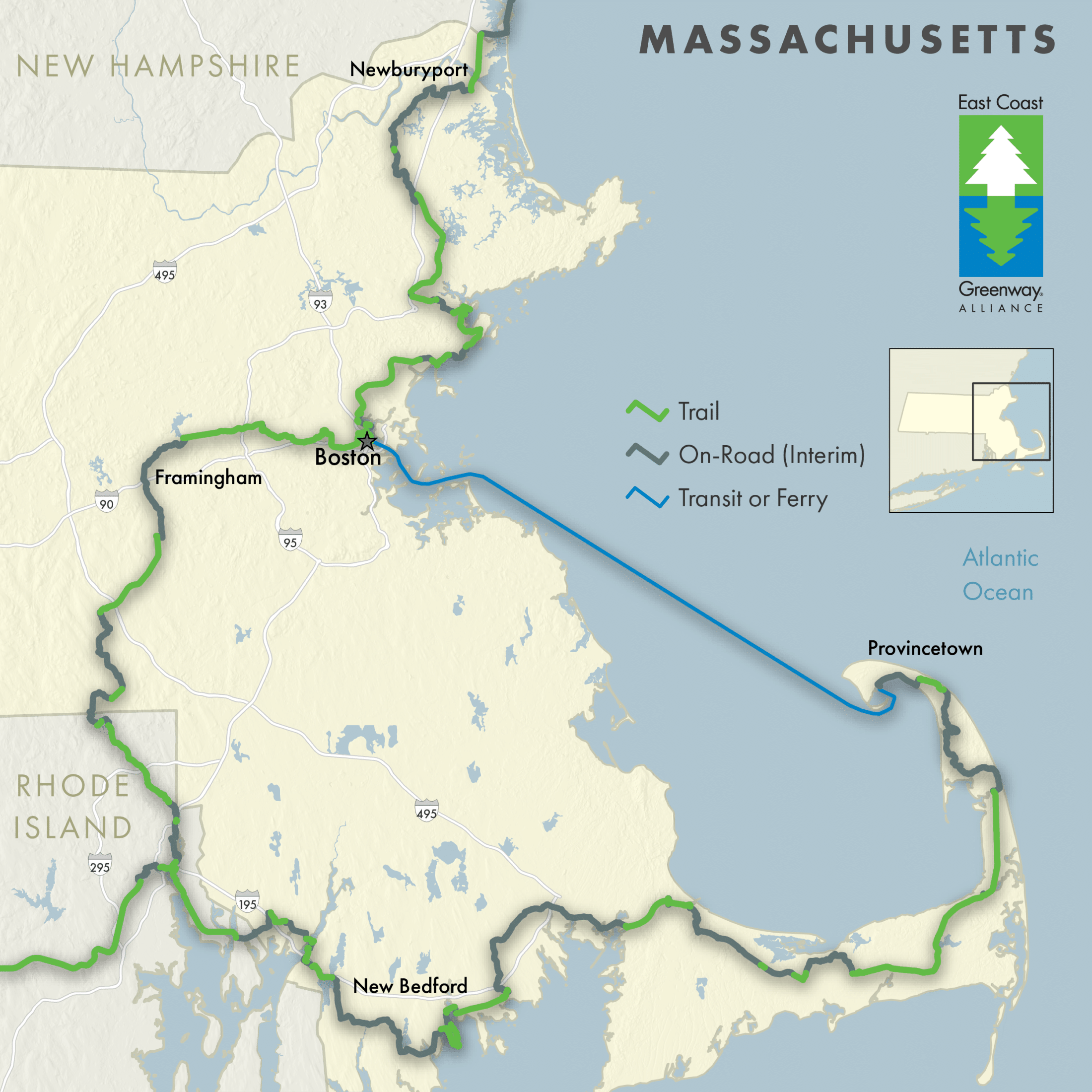
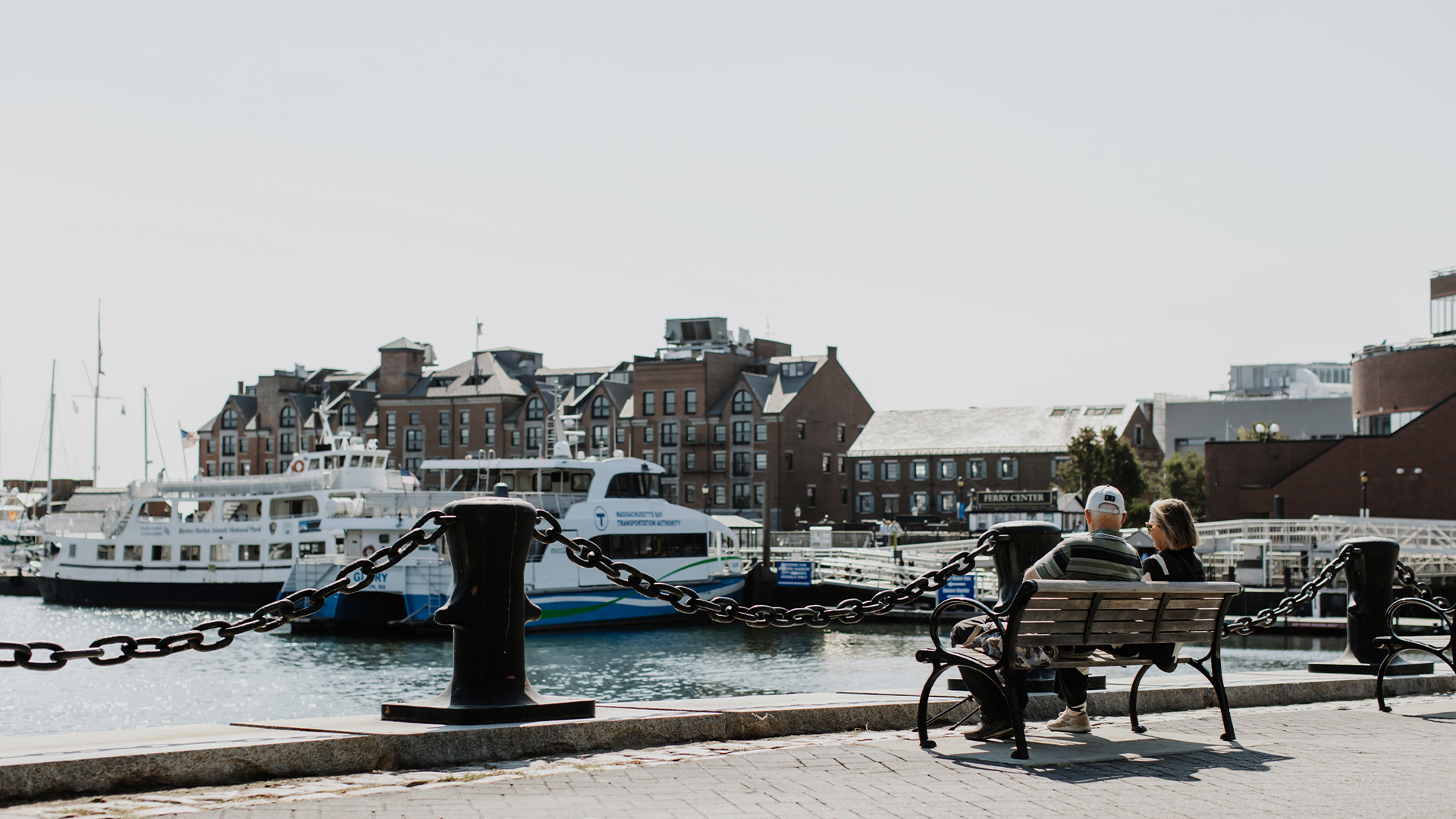
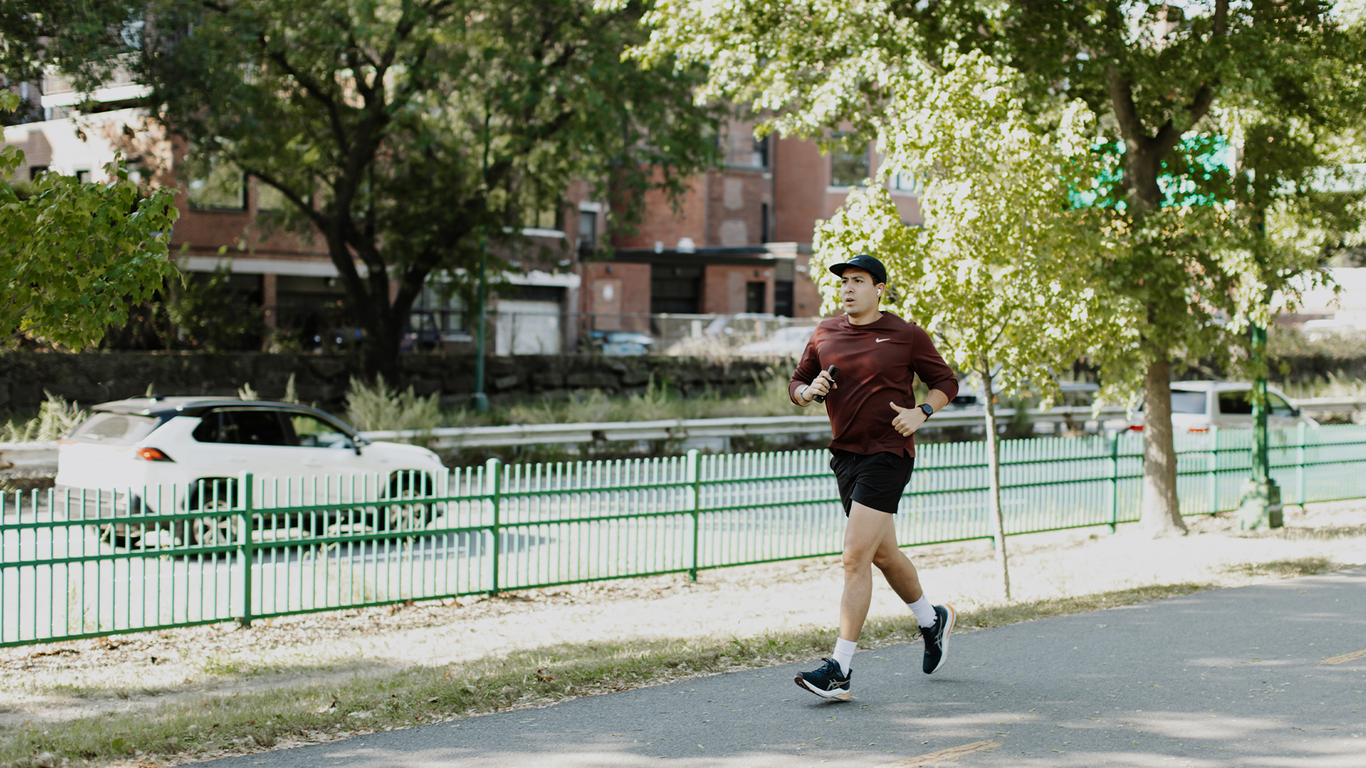
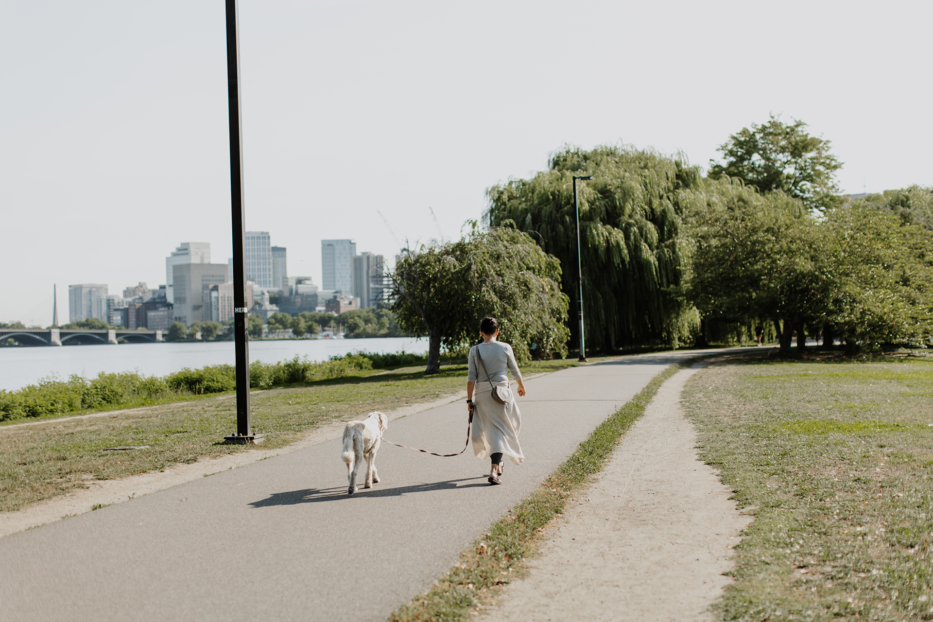
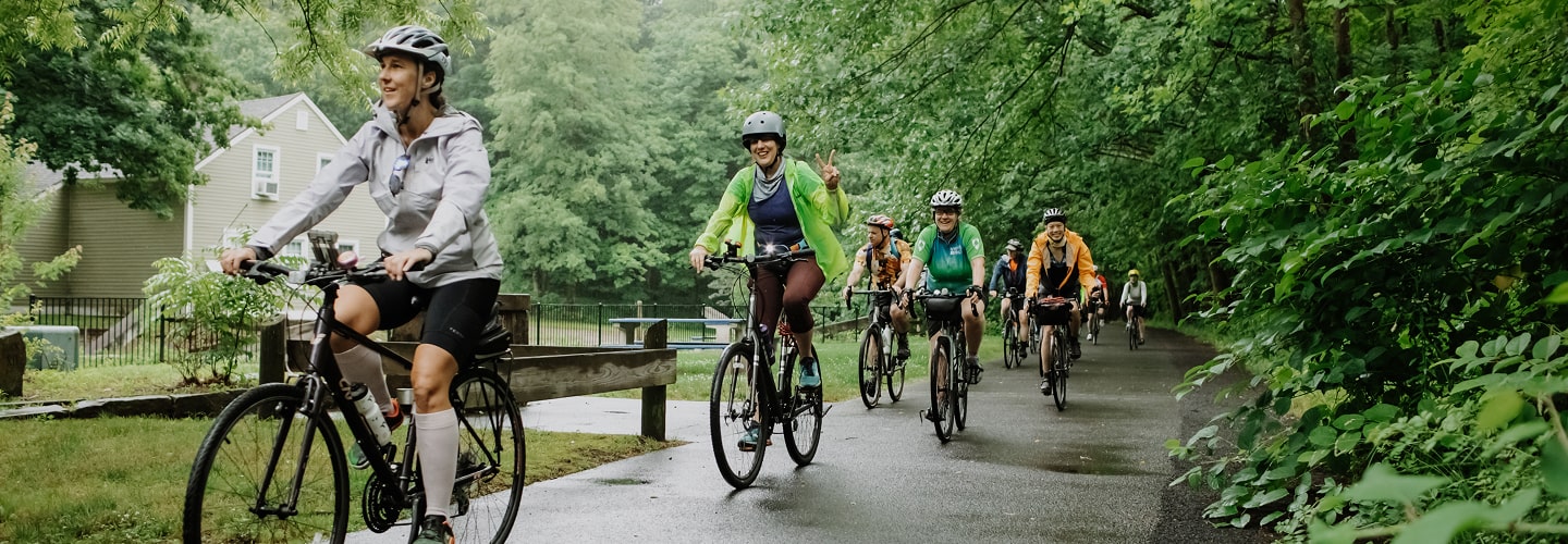
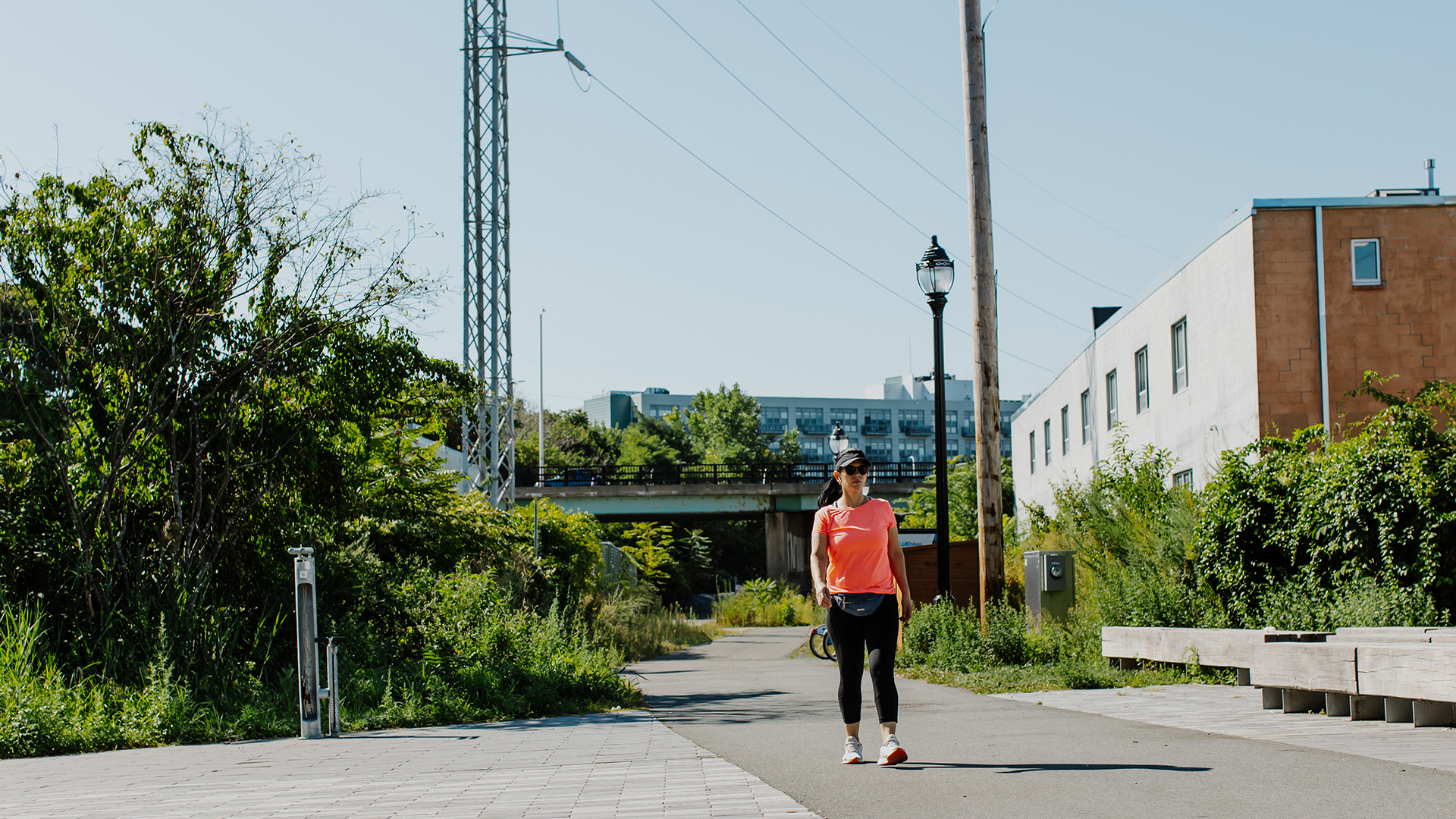
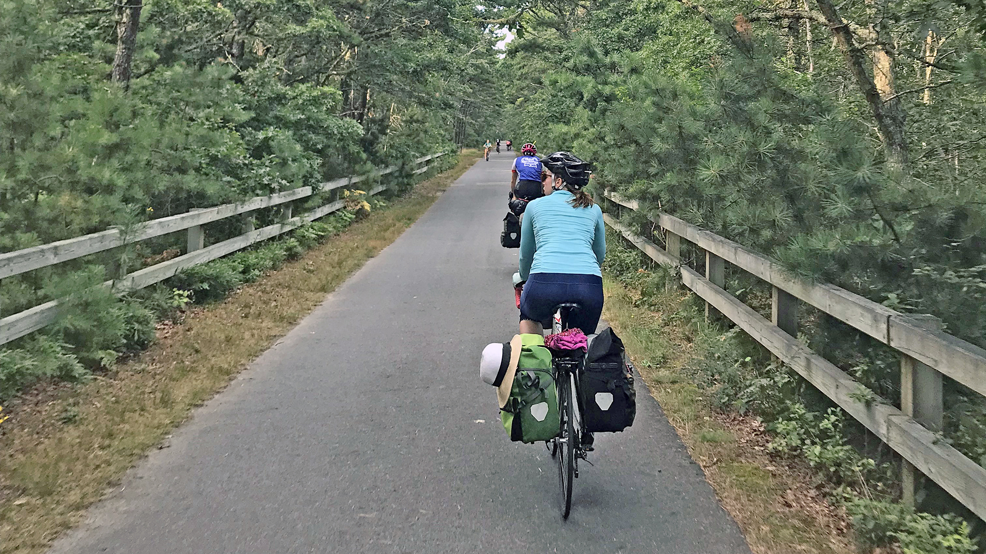
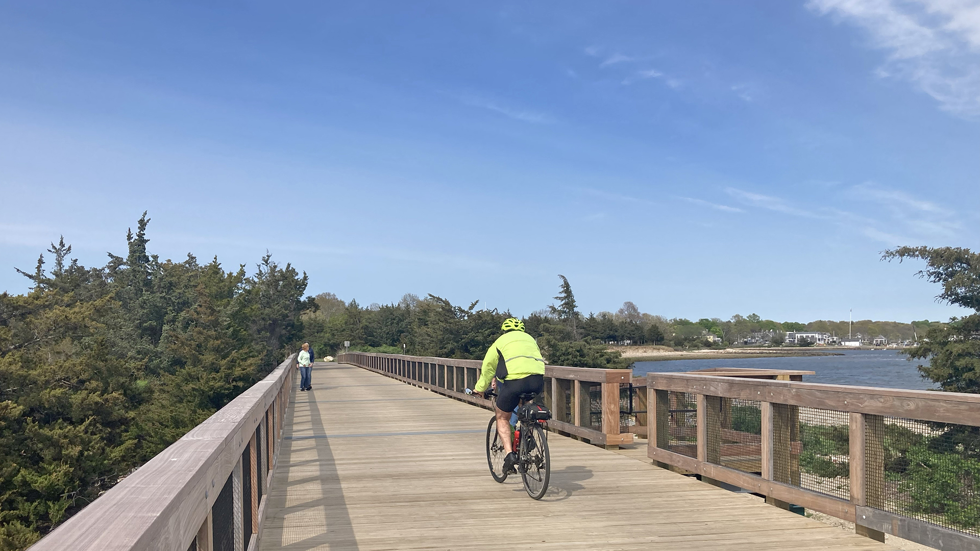
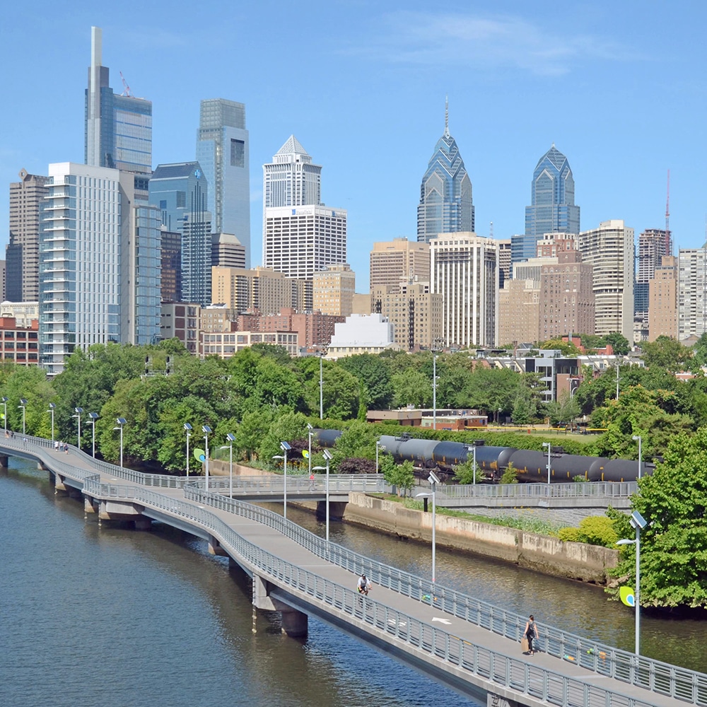
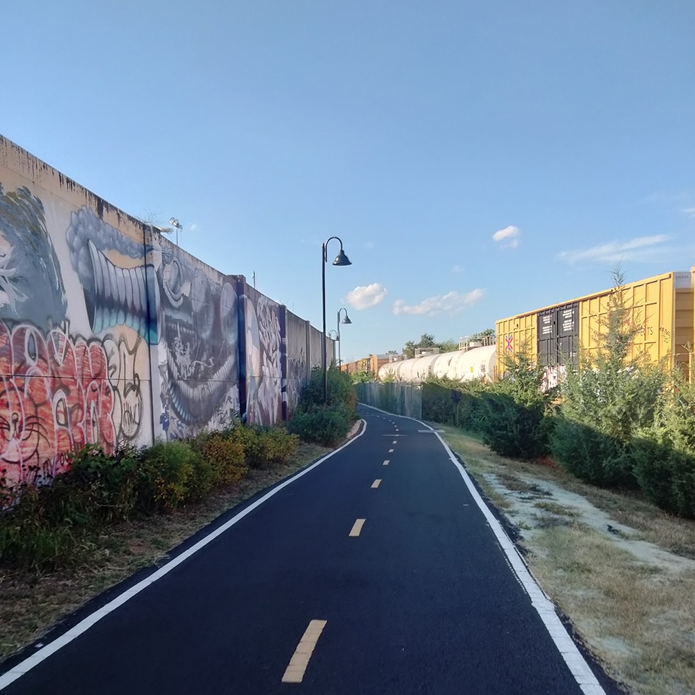
The East Coast Greenway in Massachusetts passes through a mix of landscapes, from downtown Boston to coastal communities, rural farmland and mill villages. Many trails are being constructed in the North Shore region, including the Border to Boston Trail. Heading west from Boston to Waltham, the Greenway follows the Charles River Bike Path for 12 miles past the Museum of Science in Cambridge and the Charles River Museum of Industry and Innovation in Waltham. To the south, the Upper Charles Rail Trail between Sherborn and Milford was incorporated into the Greenway route in Central Massachusetts. A coastal route is in-development to link Boston and Providence, Rhode Island, via Cape Cod, using ferry service between Boston and the Cape.
Explore the Greenway & Future Trails
Choose a tab below to explore the Greenway route today and the progress moving it forward.
Route Notice
Traveling by train? Here are some quick tips when using Amtrak with your bike: Do your research in advance; each train line features different bike rack equipment and loading procedures. Check Amtrak for the latest and when in doubt: call the station if you have questions.
In Massachusetts, a coastal route is in development to link Boston and Providence, Rhode Island, via Cape Cod, using ferry service between Boston and the Cape. Trails that are part of this complementary route include the Cape Cod Rail Trail, Cape Cod Canal Bikeway and the in-development Southcoast Bikeway, which will eventually run from the border of Rhode Island in Swansea to Wareham and includes the Quequechan, Phoenix and Mattapoissett Rail Trails.
Designated Trails
Mileage counts reflect the portion of each trail that is part of East Coast Greenway.
- Border to Boston Trail: Salisbury, Newburyport, Wenham, Danvers, & Peabody sections; 9.1 mi
- Peabody Independence Greenway, Peabody; 1.7 mi
- Salem Bike Path, Salem; 0.6 mi
- Lynn Beach Promenade, Lynn; 1.65 mi
- Lynnway sidepath, Lynn; 0.9 mi
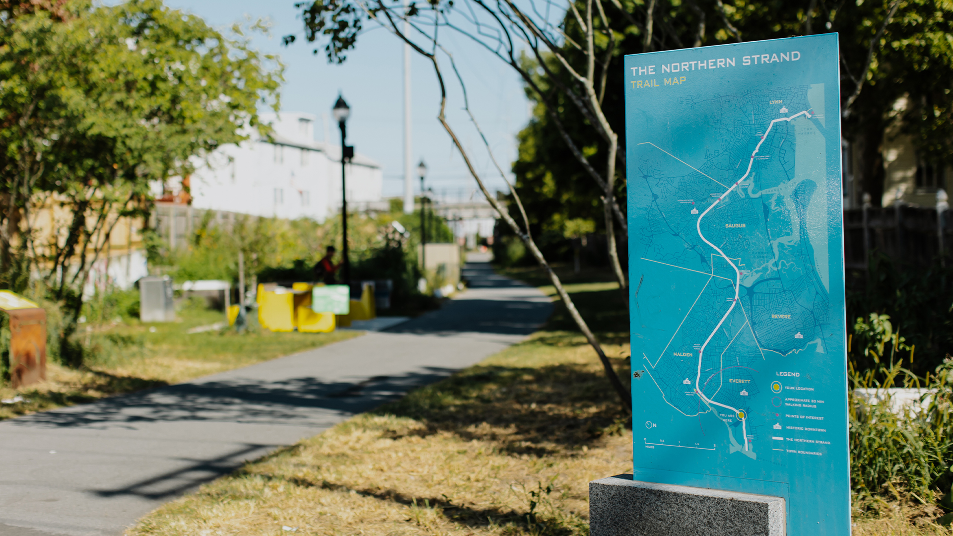
- Northern Strand Community Trail, Malden & Everett; 3.3 mi
- Everett Bike Path, Everett; 1 mi
- North Bank Park path, Boston-Cambridge; 0.6 mi
- Charles River Bike Path, Boston-Watertown-Newton-Waltham; 12.5 mi
- Mass Central Rail Trail – 4.9 mi
- Upper Charles Loop Trail – 9.3 mi
- Southern New England Trunk Line Trail (SNTT) – 1.2 mi
Complementary Route
- Mattapoisett Rail Trail, South Coast Bikeway; 2.5 mi
- Cape Cod Rail Trail, 23 mi
Where We’re Focusing
-

Border to Boston Trail
The Alliance is focused on promoting completed segments and assisting to advance segments in feasibility and design.Learn More -
Charles Headwaters Greenway Feasibility Study
Central Massachusetts Regional Planning Commission is leading a planning study for the Charles Headwaters Greenway, a proposed multi-community greenway corridor through Blackstone, Mendon and Bellingham.
Progress Update
Suggested Itineraries
From Boston, follow the Charles River Bike Path west or north on the growing Border to Boston trail network, soon linking to New Hampshire and Maine.
Trail Experience
Sign up to stay updated


- Bike to the Sea
- Blackstone River Valley National Heritage Corridor
- Coastal Trails Coalition
- Essex National Heritage Area
- Massachusetts Bay Transportation Authority
- Massachusetts Department of Conservation and Recreation
- Massachusetts Department of Transportation
- MassBike
- MetroWest Greenway Coalition: Friends of Framingham Trails, Friends of Holliston Trails, Friends of the Milford Upper Charles Trail, Friends of the Bruce Freeman Rail Trail
- Mystic River Watershed Association
- Norwottuck Network
- South Coast Bikeway Alliance