South Carolina
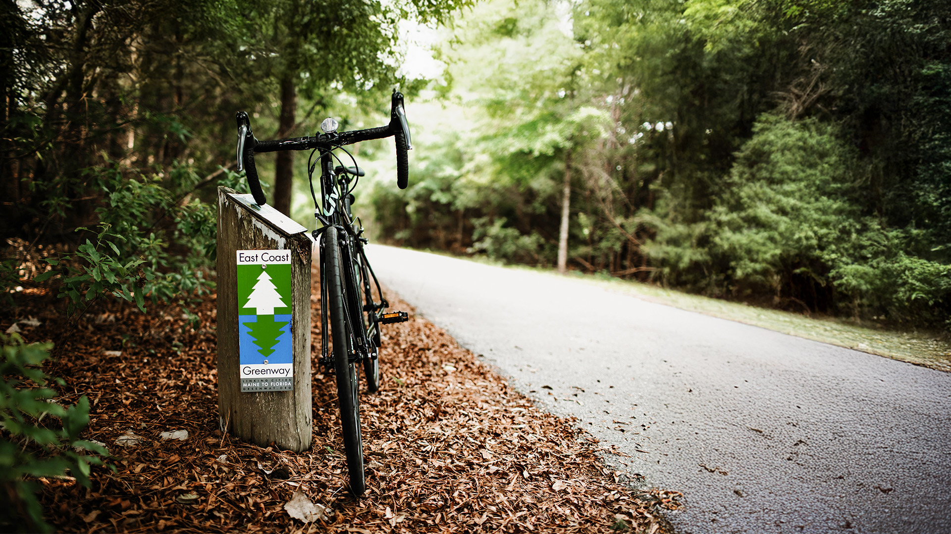
Welcome to South Carolina
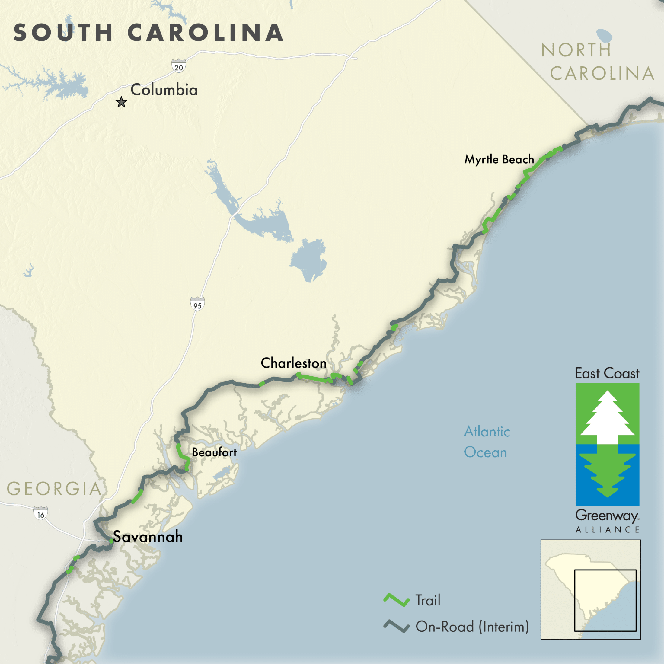
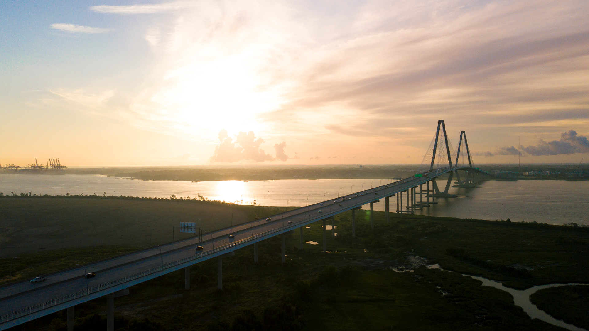
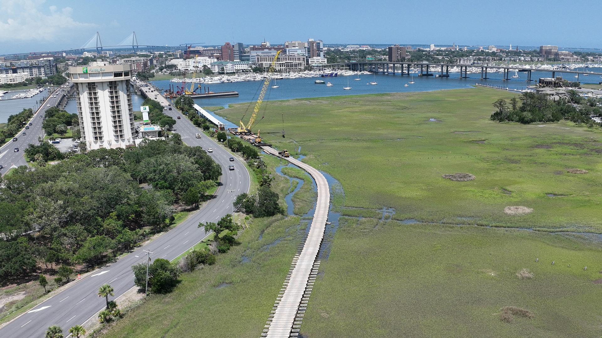
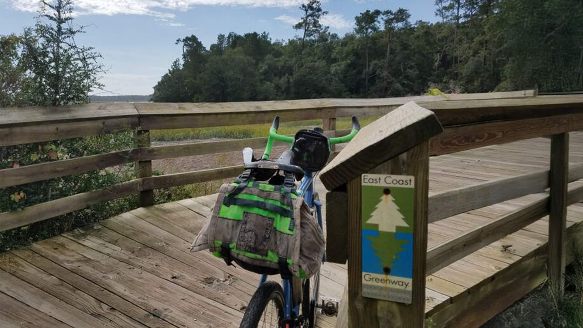
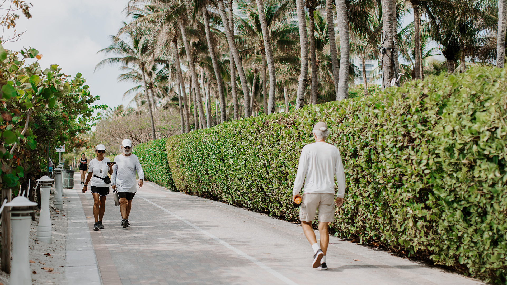
In South Carolina, the East Coast Greenway traces the state’s Lowcountry coastline, carrying travelers through Myrtle Beach, Georgetown, Charleston, and Beaufort before crossing into Georgia. The most complete sections are found in the north, where Myrtle Beach— the first East Coast Greenway city to finish its entire off-road route — offers an extensive network of connected trails. Heading south, the 18-mile Waccamaw Neck Bikeway provides a continuous off-road experience through Georgetown County. From there, the Greenway follows on-road routes to Mount Pleasant, where the iconic Ravenel Bridge features a separated bike and pedestrian path across the Cooper River into historic downtown Charleston. A new bicycle and pedestrian bridge now under construction will further strengthen the route, linking users across the Ashley River to the 10-mile West Ashley Greenway. In Beaufort, the Spanish Moss Trail delivers more than 10 miles of scenic beauty and classic Southern charm. Farther south, a paved greenway along SC 170 provides a welcome break from on-road segments between Port Royal and Savannah.
Explore the Greenway & Future Trails
Choose a tab below to explore the Greenway route today and the progress moving it forward.
Route Notice
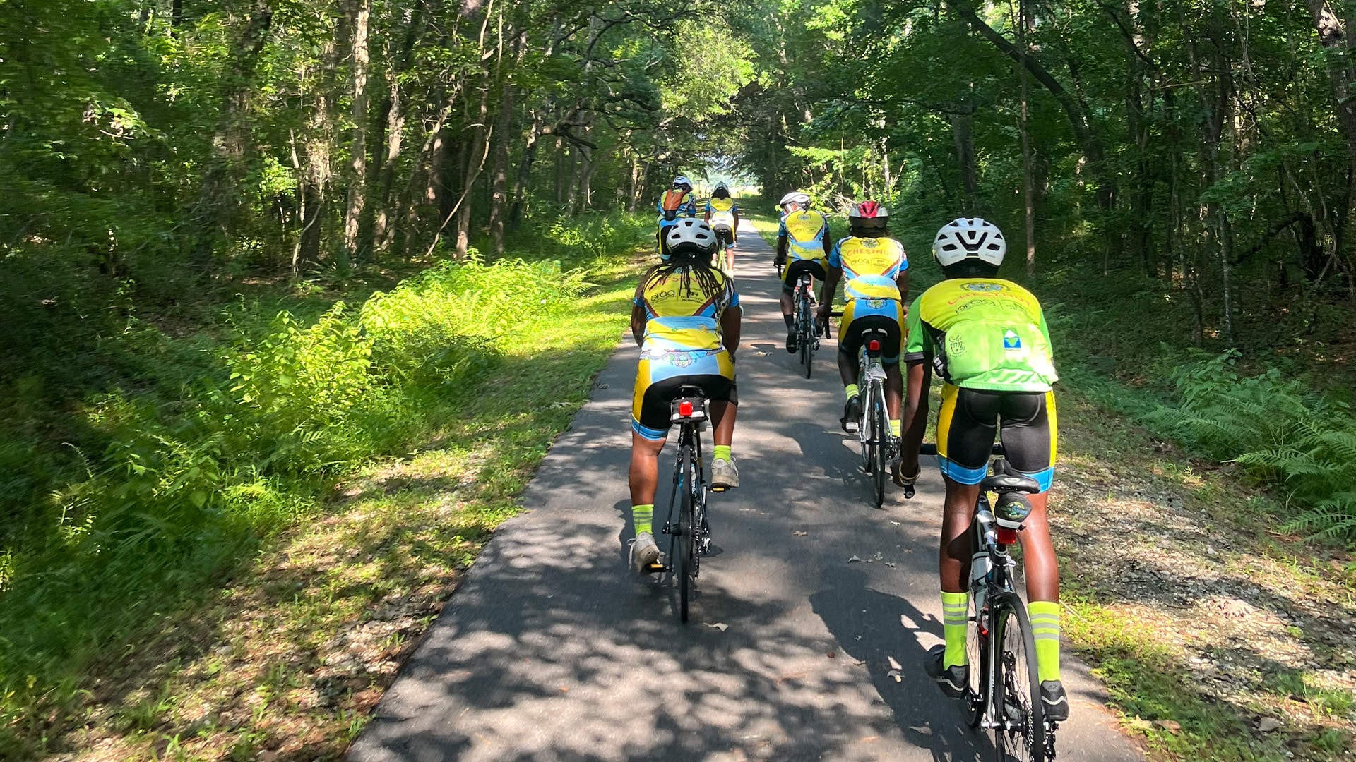
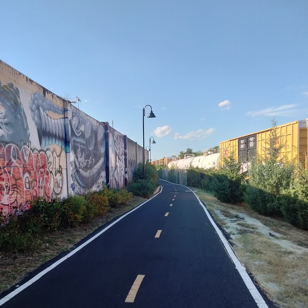
Currently, our interim route in South Carolina and Georgia, includes a great deal of high-stress, on-road segments, predominantly on U.S. Highway 17. Our team is working with local municipalities and agencies to improve conditions in the region, but we strongly advise against riding these high-stress segments at this time. We recommend long-distance travelers focus on experiencing our beautiful, completed segments of the East Coast Greenway. The Spanish Moss Trail in Beaufort, South Carolina, and West Ashley Greenway south of Charleston are incredible sections of the trail, offering the best shorter rides in the region on the Greenway route. Those still wishing to complete long-distance rides through this region are encouraged to seek vehicle support or travel by Amtrak to bypass this stretch.
While we are working to ensure that permanent, traffic-separated paths will one day connect the length of coastal South Carolina, major gaps exist between existing trails. Traveling those gaps means you will be on stretches of high-speed rural highways that provide no bicycle and pedestrian facilities, including paved shoulders. You will be sharing a travel lane with 55-plus mph traffic for several miles at a time. The segments without dedicated bicycle and pedestrian facilities include:
- U.S. Highway 17 north of Georgetown, S.C.
- U.S. Highway 17 north of Mount Pleasant, S.C.
- U.S. Highway 17 between Jacksonboro and Rantowles, S.C.
- S.C. Highway 170 north of Okatie, S.C.
Use Google Street View to familiarize yourself with road conditions in these areas. If you cannot avoid traveling these segments, please exercise extreme caution. If traveling with a group, travel together. If your group has a support vehicle, have it follow you with hazard lights blinking. Maximize your visibility with flashing lights and high-visibility clothing. Where adjacent sidewalks exist, use them.
Utilize the East Coast Greenway Mapping Tool to ensure you are following all available routes that parallel busy highways.
Designated Trails
Mileage counts reflect the portion of each trail that is part of East Coast Greenway.
- Colonel Robert Bell Pass Trail, Myrtle Beach; 1.7 mi
- Grissom Parkway Trail, Myrtle Beach; 6.4 mi
- Harrelson Boulevard Trail, Myrtle Beach; 2.2 mi
- King’s Highway Trail, Myrtle Beach; 2.3 mi
- Waccamaw Neck Bikeway, Litchfield-Murrells Inlet-Pawley’s Island; 5.95 mi
- Ben Sawyer Boulevard sidepath, Mount Pleasant and Town of Sullivan’s Island; 1.8 mi
- Garret P. Wonders Memorial Bike/Ped Lane, Charleston-Mt. Pleasant; 2.75 mi
- East Bay Trail, Charleston; 0.6 mi
- West Ashley Greenway, Charleston; 8 mi
- Spanish Moss Trail, Beaufort; 10 mi
Where We’re Focusing
-

Ashley River Crossing
Currently under construction, this 0.7-mile pedestrian and bicyclist-only bridge will link historic downtown Charleston and the Medical University of South Carolina campus with the 10-mile West Ashley Greenway.Learn More -
SC-170 East Coast Greenway Feasibility Study
The Lowcountry Regional Council of Governments is leading a feasibility study for the future East Coast Greenway alignment as part of a larger study of the 24-mile SC-170 Corridor in Beaufort County.Learn More
Progress Update
Suggested Itineraries
Visit the Lowcountry, Myrtle Beach and other beach communities, and the historic charm of Charleston, while recognizing the importance of completing remaining on-road segments to create a safer, more continuous Greenway experience.
Trail Experience

Sign up to stay updated


- Town of Awendaw
- Berkeley-Charleston-Dorchester Council of Governments
- Bike the Neck
- Charleston Moves
- City of Georgetown
- East Cooper Land Trust
- Friends of the Spanish Moss Trail
- Friends of the Lowcountry Lowline
- Gullah-Geechee Cultural Heritage Corridor Commission
- Lowcountry Regional Council of Governments
- City of Myrtle Beach
- City of North Myrtle Beach
- Palmetto Conservation Foundation
- Palmetto Walk Bike
- South Carolina Department of Transportation
- Town of Mount Pleasant
- Waccamaw Regional Council of Governments